Give us some information about your work and get a personalized demo.
Oops! Something went wrong while submitting the form.

Industries
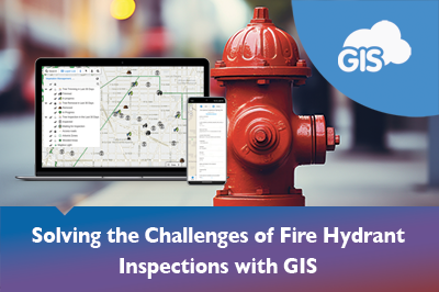
GIS Solutions: Optimizing Fire Hydrant Inspections
Being a cloud based GIS solution doesn’t stop with a mobile application. GIS Cloud has other tools that can be used to improve your team’s fire hydrant inspection routine. We will show you how GIS Cloud’s online solutions can solve your fire hydrant inspection frustrations. Many of these solutions will solve these headaches...
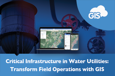
Transform Water Operations Asset Management & Field Services
In a time when water utilities are grappling with the dual challenges of climate change and growing demands for water services, the urgency for effective asset management is at an all-time high. Water utility operators, consultants, and managers face a wide range of problems, from old infrastructure to increasing water losses that don’t bring...

From Paper to Digital: Water Valves Exercise Logs
Are your operators using paper maps to track their routine water valve exercises? Do they have company issued smartphones? It’s time to upgrade the workflow. We are going to show you how easy it is to inventory your valve exercises with a mobile app. It doesn’t matter if you have an Apple...

Transform CCTV Inspections with the Mobile Data Collection
The Mobile Data Collection application is your winning ticket. The app could be worth a million dollars to you and your organization. It is the key to a successful field operation. The application works on iOS and Android devices. Clients of ours, like Pipe View America, use the application. How many thousands...
GIS Mobile Applications for Leak Detection
Leaks occur frequently in water utility systems. They result in water loss and high repair costs. Pipe and valve leaks demand attention from important staff members and are a distraction. Detecting hidden leaks can also be expensive and take crucial funds from the budget. These issues can be tracked, analyzed, and even...
Teramaps – Partner Use Case
Teramaps is a GIS Cloud partner that offers technical solutions for their clients’ geography needs. They integrate QGIS’s desktop applications with GIS Cloud’s online solutions to deliver valuable tools throughout Chile and across South America. Their clients range from a variety of industries, including municipalities, power and gas companies, the Chilean military, universities,...

Beyond Maps: How GIS is Redefining Utility Field Operations
How can modern GIS technology improve the efficiency and decision-making in utility management? We see utility sectors facing challenges like old infrastructure and caring for the environment. This article looks at how GIS Cloud’s tools – Mobile Data Collection app, Map Editor, Map Viewer, and Map Portal – make mapping better and change the...
Transforming Government Work with GIS Cloud
In an era where quick and smart decisions are key, governments at all levels – local, state, and federal – are embracing Geographic Information Systems (GIS) in the cloud. This move is not just about keeping up with technology; it’s about reshaping how government departments work together, make decisions, engage with communities, and plan...
Optimize GIS Water Asset Management with Document Linking
As GIS Analysts, Specialist, Data scientists, and Technicians we are the holds of a lot of information. Many of us are the go to person for all sorts of questions. How deep is that sewer line buried? What infrastructure is within 50 feet of this road? What do documents say? How many feet...
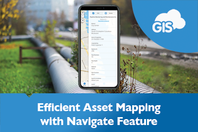
Navigate To Feature: Map Your Way To Your Assets
GIS mobile applications allow you to map your water assets. Map mobile applications provide you with directions on the go with improving reliability. GIS Cloud has combined these features under one awesome Mobile Data Collection application. The Navigate To Asset Feature saves travel time, especially during scheduled maintenance and routine inspections. ...
Manage Water Resources Using GIS Cloud Solutions
Water is a source of life. There is a reason why major cities are adjacent to water. Management of this precious resource is important in sustaining these populations. Geographic Information Systems (GIS) organize spatial data into tables of dynamic information. This data can be presented in easy to use maps and web applications....
PSD Citywide & GIS Cloud New Integration Partnership
London, Ontario & Zagreb, Croatia – September 21, 2023 – PSD Citywide® is pleased to announce its new integration with GIS Cloud, a leading European provider of GIS mapping working in more than 50 countries worldwide. Fully integrated with Citywide GIS, current and future clients can access a wealth of new public mapping options...

Using GIS for Vegetation Management in Electric Utility
Managing vegetation around power lines is a significant challenge for electric utilities worldwide. Overgrown vegetation can cause power outages, fires and even endanger public safety. Traditional vegetation management methods, such as pen and paper inspections, are often time-consuming and costly. However, GIS technology can help electric utilities efficiently manage vegetation, allowing for a...
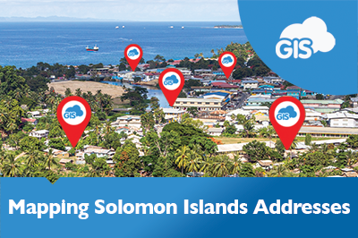
Addressing the Solomon Islands Postal Corporation Challenge
The Solomon Islands Postal Corporation is undertaking a large challenging project. They are embarking on mapping and developing a National Address database for the country. This is a large-scale geospatial project, even for a country of only 700,000 people. There are many challenges in developing such a system, but having the support...
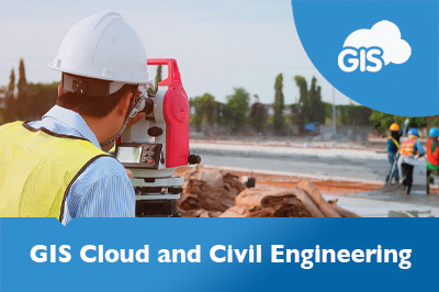
GIS Cloud and Civil Engineering
Civil engineering covers various disciplines, from impressive structures to critical water distribution infrastructure and sensitive environmental resources. Each of these play an important role in society. Failures in either could have a devastating impact on society and the environment. Properly constructing and maintaining these assets is essential. Let’s explore how GIS Cloud...
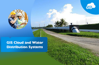
GIS Cloud and Water Utilities
Imagine having all the answers at your fingertips. What size water line is running down this street? What material is it made of? How deep is it buried? Do I have legal rights to install a service line running off this water main into that adjacent parcel? If so, where? With your utilities...
GIS Cloud Solutions in Telecom Industry
GIS, much like telecommunication, has come a long way. Telecommunications have developed from smoke signals to fiber optic lines and long-range wireless data connections. GIS has gone from hand-drawn maps to as-built plans to 3D models that are accurate to the hundredths of an inch. Bringing telecommunication networks into a GIS...
Road Maintenance Webinar – GIS and Power BI Integration
Last week, GIS Cloud hosted InfraTrace for a webinar discussing Road Maintenance use case with GIS and Power BI integration. InfraTrace’s Roland Christen showcased its methodologies in collecting data from the field, analyzing data, and leveraging GIS Cloud with Power BI. They develop informative dashboards and comprehensive reports for the local communities they...
GIS Cloud and Power BI – Infrastructure Management with InfraTrace
GIS is a powerful tool being used worldwide. Maps have become an effective tool for communicating information to people. In recent years, maps have been frequently used to show the widespread pandemic and the impacts of natural disasters. Maps and GIS communicate with minimal losses in translation about what is happening, where it...
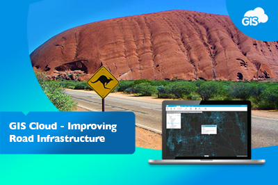
Improving Road Infrastructure in Australia with Online GIS (Case Study)
The District Council of Mallala, now known as Adelaide Plains Council, in South Australia, has been using GIS Cloud for over eight years. The Adelaide Plains Council area covers over 350 square miles off the St.Vincent Gulf. Despite being a small community with fewer than 10,000 people, the Council uses smart and modern...
Woodland Survey – Evolving Forests Use Case
Delighted for the opportunity to design and deliver a woodland survey focused on Dartmoor commons, our client Evolving Forests joined the ‘Healthy Trees for Tomorrow’ project. A joint venture with Dartmoor National Park Authority, Foundation for Common Land, and the Lottery Heritage Fund, realized by volunteers. Dartmoor on their doorstep and in their...

Improving Workflows in Telecom Industry – Sotetel (Use Case)
As the telecommunications industry is one of the fastest-growing GIS markets in the world, we want to showcase the benefits of implementing the GIS Cloud solutions to provide an effective tool for making data-driven decisions. Companies use GIS Cloud for multiple purposes, from managing field operations to performing spatial analysis, network planning, deployment,...
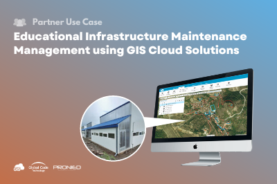
Educational Infrastructure Maintenance Management using GIS Cloud
Our partner Global Code Technology from Costa Rica which also operates in other countries of the region successfully finished a field data collection of educational infrastructure for their client, Unidad Gerencial de Mantenimiento (UGM) in Peru. Unidad Gerencial de Mantenimiento (UGM) is a maintenance management unit, part of the Peruvian National Program for...
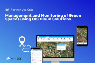
Management and Monitoring of Green Spaces using GIS Cloud Solutions | Nestorio, Greece
Our partner NubiGroup from Greece, helped the Nestorio Municipality, a small mountainous Municipality in Northern Greece, acknowledge the benefits of new technologies and implemented GIS Cloud solutions into its workflow to monitor and manage the municipal green spaces. NubiGroup is our partner and a company that creates a new generation of geo-services, research, and products by exploiting geospatial information...
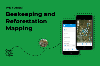
Beekeeping and Reforestation in Response to Climate Change – WeForest (Case Study)
In response to climate change, WeForest promotes forest landscape and ecosystem restoration in their projects. As a part of the Katanino Forest Restoration Project, they provided an alternative source of income from forest-friendly activities such as beekeeping and tree nurseries! With the help of GIS Cloud, they mapped the beekeeping areas and...
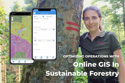
Optimizing Operations with Online GIS in Sustainable Forestry (case study)
Gozdno gospodarstvo Les from Ljubljana, Slovenia manages over 2000 ha of the estate consisting of forests. It is largely owned privately with few exceptions of company-owned forests. Using online GIS, they have complete IT support for their core business – planning, marking the trees to be felled, harvesting and selling the round wood. In...
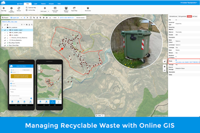
Managing Recyclable Waste With Online GIS
Our Partners NubiGroup from Greece helped the “GreenPoint – Mob” project collect the data on mobile waste containers in remote areas in different countries and create a spatial database on waste and recycling bins, as well as monitor the status of the “GreenPoint-Mob” containers. This significantly improved waste management, saving the project time and...
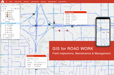
Online GIS In Road Work Inspections And Maintenance
GIS technology has been enabling the Road Work Industry since the early beginnings. It is proven that the power of location enhances operational efficiency. Online GIS helps you obtain different data from different systems into a single easy-to-use platform. You will start using smart custom maps to plan, manage and maintain your road infrastructure to...
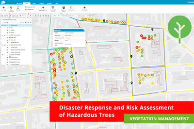
Disaster Response and Risk Assessment in Vegetation Management – Use Case
Recently we held an exciting webinar on Online Solution for Vegetation Management! We touched upon some critical pain points of everyday vegetation management workflows and had an interesting poll where we found out that some companies still use paper forms or don’t collect their data in any way yet! GIS Cloud...
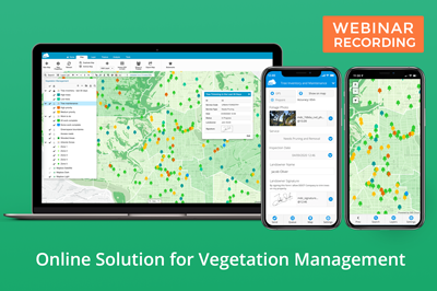
Webinar Recording – GIS Cloud Solution for Vegetation Management
Dear Vegetation Management Specialists, we are happy to announce that the recording of our highly anticipated webinar on Online Solution for Vegetation Management is here! In this webinar, our Growth Department team touched upon some of the critical pain points in everyday vegetation management workflow like: Work scheduling, prioritization and coordination Tree maintenance, disease and...
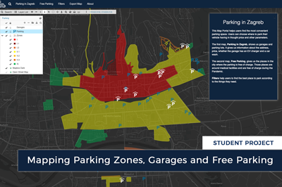
Mapping Parking Zones, Garages and Free Parking in Zagreb (Croatia)
Each year the number of cars in the city grows, causing traffic jams and lengthening the time spent looking for a parking place. That leads to dissatisfaction and stress among drivers. Marija Milanović, geodesy student at the University of Zagreb, created an interactive Map Portal of parking zones and no fees parking spaces...
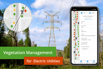
Vegetation Management For Electric Utilities
Managing vegetation is crucial for the utility industries, especially for the power and electricity sector. Negligence to maintain vegetation results in destructive wildfires, and dangers of tree falling hazards on utility infrastructure. This brings considerable expenses to the budget and economic loss for both power companies and end customers, not to mention liability issues...
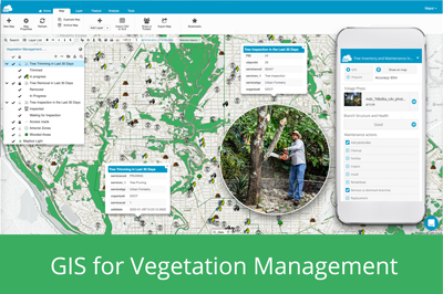
GIS For Vegetation Management
Every year vegetation management companies inspect vast amounts of areas where trees and different types of vegetation require care and trimming to avoid potential utility threats and other hazards, like fires or invasive species. In some regions of the world, there are strict laws and guidelines that require vegetation maintenance to comply with...
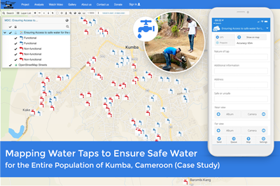
Mapping Water Taps to Ensure WASH Infrastructure and Safe Drinking Water for the Entire Population of Kumba (Cameroon)
Ensuring safe and clean water for the people across Africa is one of the greatest problems on the continent. Water sources are often miles from towns and villages, so people are forced to spend hours each day simply finding and transporting potable water back to their homes. In the city of Kumba (Cameroon),...
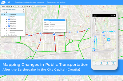
Mapping Public Transportation after the Earthquake in Zagreb (Croatia)
Martin Malović, Geography/GIS student at the University of Zagreb, Faculty of Science made an interactive Map Portal with the help of GIS Cloud apps, representing changes in public transportation due to earthquake damages to facilitate daily movements for people in the city. Maps that are created as a part of this project...
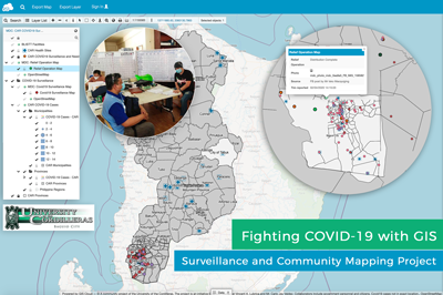
COVID 19 Surveillance and Community Mapping Project Using a Real-time Web GIS Platform in Philippines
COVID 19 is quickly spreading in the Philippines at an alarming rate. At this point, efforts to contain the virus depend on a contact tracing technology. The University of Cordilleras – Research and Innovation Office (UC-RIO) in Baguio City has developed a system powered by GIS that enables real-time reporting, inter-agency data sharing and...
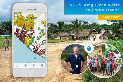
Mapping Entire Liberia To Bring Clean Water to Everyone – GIS for NGOs (Case Study)
Water is one of the Earth’s most valuable resources. Some of us take drinking water for granted, while millions of people across the globe can’t even imagine having everyday access to clean water. This is a success story about a project in Liberia that began in 2015, where nonprofits joined forces to map the...
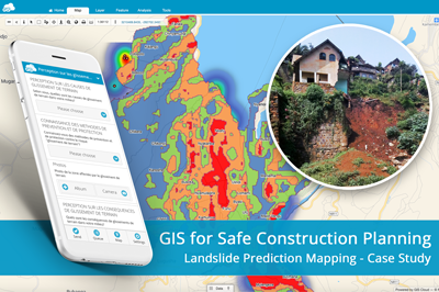
Landslide Prediction Mapping for Safe Housing and Construction Planning Using GIS
Landslides in the Kivu region (DRC, Africa) caused significant socio-economic destruction and have highly impacted the population. BEGE-RDC, a nonprofit organization, integrated its desktop and online workflow and created a heatmap with GIS Cloud apps that would emphasize the hotspots of the landslides and help predict development risks of this region. How can mapping...
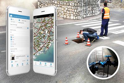
Digital Transformation of Field Operations in a Water Utility Company Using GIS Cloud (case study)
Digitizing the process of field data collection and infrastructure data management utilizing the GIS Cloud platform, Liburnian waters achieved a multilevel collaboration with local governments, increased their data accuracy, and reduced job timeframe by eliminating paper forms. The implementation of field inspection via surveys on mobile phones had the biggest impact on their workflow,...
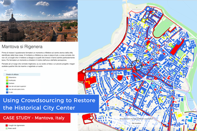
Using Crowdsourcing to Restore the Historical City Center of Mantova, Italy (Case Study)
The historical city center in Mantova, Italy, has been deteriorating for some time now. The buildings are not being properly maintained, and some of them are abandoned, despite the fact they are a cultural heritage recognized by UNESCO. But the Municipality of Mantova is trying to fix things with an urban regeneration project, a coordinated...
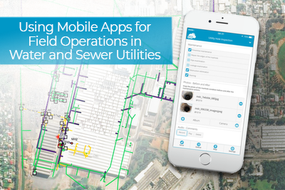
Using Mobile Apps for Field Operations in Water and Sewer Utilities (Case Study, Australia)
This case study shows how a utility company, Smith Brothers Group, improved the efficiency of inspecting asset conditions and field data collection by 30% with the GIS Cloud mobile apps for water utilities. The Smith Brothers Group operates in Australia and works on various water and sewer utility projects for local government units. They...
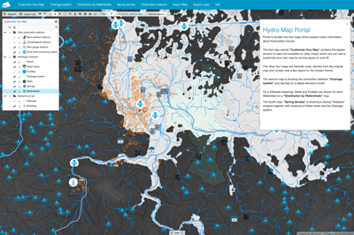
How to Create a Hydrological Map Portal
Hydrology databases make it possible to map, track and observe water resources. Monitoring and modelling the data is essential in creating a sustainable system for managing the public water supply. Having to find and track down needed information manually is inefficient and unreliable, especially when taking into consideration that all assessments and analyses are...

Smart City Apps for Utilities
Smart city apps are an effective solution for getting data and feedback from your customers (citizens), contractors, or local governments. But, most of the smart city solutions are expensive and take ages to deploy. In this article, we’ll show you that’s not always the case. Keep reading and learn how to create a smart...

GIS for Electric Utilities
GIS software has been empowering the electric utility industry for decades. It provides a robust framework for asset and workforce management as well as tools for planning and analysis. Today, the landscape is filled with desktop solutions like those from ESRI, open-source software like QGIS, but also a host of online GIS solutions. ...
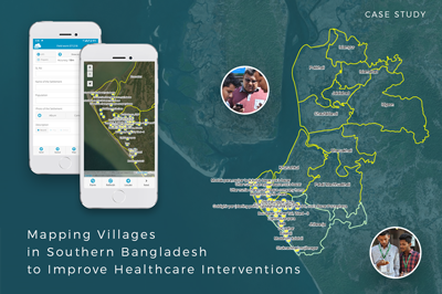
Mapping Villages in Southern Bangladesh to Improve Healthcare Interventions
The project is a part of a larger initiative that tries to tackle the spread of disease caused by extreme air, water, and soil pollution in Bangladesh. The initiative plans to establish a disease surveillance system and conduct a spatial analysis to determine high-risk areas. This is a pilot project and covers the first...
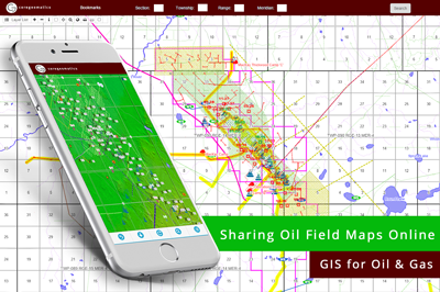
GIS for Oil & Gas industry: Sharing Oil Field Maps Online (Case Study)
We bring you a case study from the oil and gas industry that demonstrates the benefits of GIS for sharing mapping data with clients. Following a short inquiry with CORE Geomatics, we can see how the requirements in the Oil & Gas industry are met with the GIS Cloud solution. CORE Geomatics is...
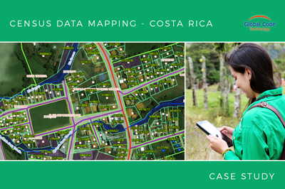
Collecting all property data in Zarcero Canton in less than 2 months (Case Study from Costa Rica)
The crew from Global Code Technology successfully finished the field data collection of infrastructure, land use and property in less than two months. It was a project for the Zarcero Canton that needed to get their housing census database in order. The housing census enabled the canton to plan infrastructure projects more efficiently, like...
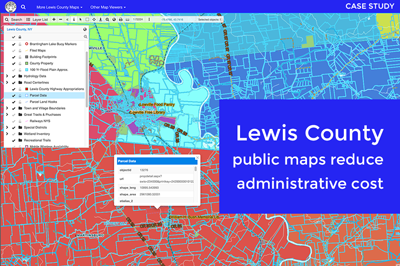
Cutting Administrative Costs With Online Maps for Lewis County (Case Study)
Lewis County is a small community located in the State of New York. Its county officials wanted to create an online mapping system so that the public and businesses get easy access to public data (cadastre, tax maps, utilities, zoning, etc.). The idea was to implement an online solution that would be both affordable...
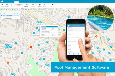
Pool Service Software for Maintenence Companies
Many pool maintenance companies are still tracking their daily jobs, workers in the field and data on pool equipment status on paper. We are providing an online pool service software which allows fieldworkers to fill out simple survey forms on their mobile phones about the daily tasks on each pool. Managers in the office...
Malaria Risk Map: Using GIS to Combat Malaria Disease in Nigeria
The case study is based on the project “Geospatial modeling of malaria risk areas and vulnerability (severity) using environmental, climatic and socio-economic factors” and it’s an example of using GIS technology as a tool to combat the malaria disease. The project was created by Ayodele Adeyemo, a geogeek looking for ways to leverage...
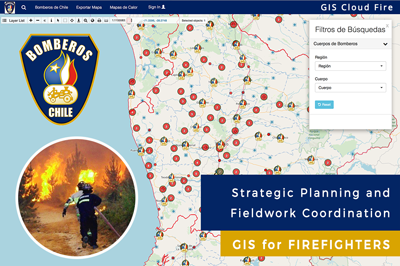
Firefighters of Chile Used a Dynamic GIS Solution for Strategic Planning and Fieldwork Coordination (Case Study)
Firefighters of Chile are an admirable organization, always investing in education and technology to provide the best possible service to their community. In 2017 they faced massive fires across the country, in many distant locations at the same time. To coordinate teams and respond as quickly as possible, they decided to implement a GIS...
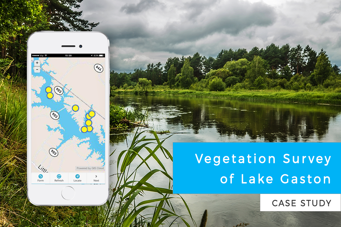
Vegetation Survey of Lake Gaston (Case Study)
Citizens of Lake Gaston wanted to take care of the lake ecosystem. The invasive plant species were spreading out of control, so a vegetation survey was required to determine the best way to fight the invasive flora. This case study is a great example of volunteers working on vegetation management for an entire...
Sharing Large Raster Maps and Drone imagery with GIS Cloud
We wanted to find out what is the greatest problem geospatial experts face when trying to share raster maps or drone imagery. So, last year we held a poll for a crowd of GIS power-users. Take a look. The poll from last year’s webinar about sharing rasters. More than 50% of...
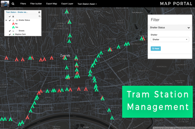
Tram Station Asset Management in the City of Zagreb (Use Case)
When waiting at the tram station, it can be bothersome if you don’t know when the next tram comes. Some tram stations in Zagreb, Croatia have a digital display showing information about arriving trams (their line number, direction and the estimated time of arrival). Geography student Matija Ostović decided to explore which tram...
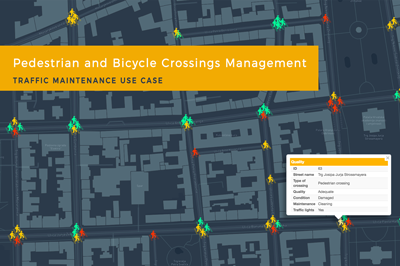
Traffic Maintenance Using GIS Cloud: Pedestrian and Bicycle Crossings Management (Use Case)
If you are a company in charge of maintaining traffic signalization, taking care of utility management or simply leading a field data collection project, online GIS solution can be of great help for your workflow. Learn how to assign your fieldworkers permissions to collect and update data about asset condition, to efficiently maintain...
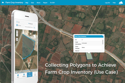
Improving Crop Inventory And Crop Scouting With GIS Cloud Apps (Use Case)
In many parts of the world, farmers are still struggling to improve farming techniques and ensure profitable and efficient crop production. Environmental problems such as pests and diseases, cause significant losses to farmers but are avoidable if using GIS solutions that include crop scouting apps and an easy tool for managing the crop inventory. ...

Mapping and Planning of Electricity Distribution Network (Use Case)
The electricity distribution system is one of the main parts of electric power systems. It’s important to transform existing systems and utilize the latest technologies to overcome issues such as power theft or poor distribution of power supply. Learn how the new line collecting feature in GIS Cloud can be of help in electricity distribution...
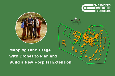
Mapping Land Use With Drones To Help Build A Hospital In Tanzania (Case Study)
One of the largest hospitals in Tanzania needed a land use map to help them build a new hospital extension. To improve medical care in this area and speed up the development of the community, an NGO provided engineers to plan the extension and the drone survey. Yet, their hands were tied on account of...
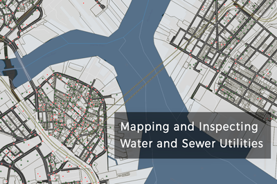
How to Use Mobile Apps for Water Utilities in Inspections and Surveys
As a utility provider in the water and sewer industry, you know that effective field operations are the backbone of an accurate asset repository as well as efficient and precise condition inspections. To make your field operations team as efficient as possible, it’s a good idea to equip them with mobile apps designed with...
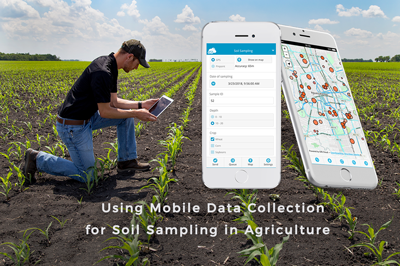
How To Use The Mobile Data Collection App For Soil Sampling in Agriculture
The Mobile Data Collection app replaces messy field paperwork with easy-to-use mobile forms. After you fill the form at a sampling location, the data immediately appears in Map Editor, where you can edit and analyze the data. In the past, farmers would spread the fertilizer evenly across the entire field. But with geospatial...
Collecting Field Data For A Water Distribution System In California
Lack of affordable housing is a growing problem in California. Combined with the severe droughts that have afflicted the state in the last few years, this problem only grows worse for the residents in areas such as Tulare County. To alleviate this problem, organizations such as Self-Help Enterprises (SHE) are continually working together with low-income...

Achieve Higher Precision in the Mobile Data Collection App with External GPS Receivers
In industries like utilities and insurance, the project workflow demands both a solution with high precision capabilities as well as a solution for attribute data collection. To get rid of paper forms and keep the high-precision you can combine the Mobile Data Collection app with your high-precision GPS device. When performing field data collection,...
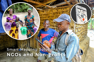
7 Ways Online Maps Can Empower Your NGO or Nonprofit
Nonprofits and NGOs face many common challenges when trying to promote and achieve sustainability, equality or develop smart solutions for various causes. For example, finding funds for an ambitious project can be demanding, never mind living up to donors’ expectations, or getting the word out about the awesome projects you’ve been working on. Connecting with...
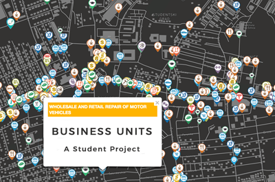
Map of Business Structure and Activity in City Districts of Zagreb
This is a case study about mapping business units in the city district of Dubrava in the City of Zagreb. The project was made by a Geography student, Stipica Šarčević, who also wrote this blog report. He explained the process of data collection, visualization, and publishing, done by using GIS Cloud apps. Over the...
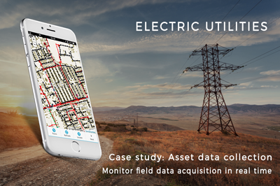
Fighting electricity theft in Nigeria with GIS technology (Case Study)
Electric utility companies across Nigeria struggle with electricity theft. The illegal connections to the power grid generate huge losses and are a hazard for locals. GIS technology can help mitigate the problem by enabling real-time insights and proper electric network visualization. Learn how Enugu Electricity Distribution Company utilized GIS technology to tackle electricity...

GIS Cloud Solutions for Electric Utilities: Webinar Recording
Learn how to harness the power of real-time insight into your electricity network infrastructure, distribution lines, and daily maintenance and management. On October 26th, we held a webinar on how to create a more efficient workflow, make better decisions, and save time and money using GIS Cloud solutions for electric utilities. To access the...
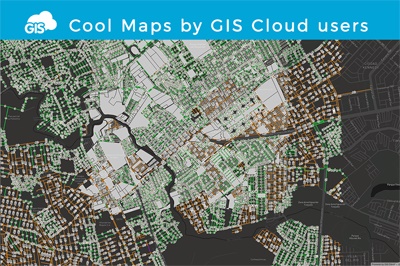
Cool maps by GIS Cloud Users
In GIS Cloud Map Editor, you can often stumble upon interesting public maps created by our users who utilize GIS Cloud apps for a wide variety of purposes. So, we made a selection of a few cool maps that caught our eye. There will be more interesting maps to come – don’t hesitate to drop...
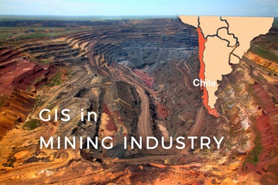
Supporting Small and Medium-Sized Mining in Chile Through Interactive Maps
The mining industry in Chile produces more than one-third of government income by exporting Copper. Other important mining products include gold, silver, molybdenum, iron, and coal, while most of the mining products are located in the Atacama Region. At this mining region small and medium-sized mining operations make a significant part of the mining...
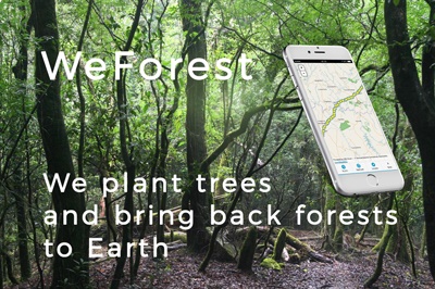
WeForest – Improving the Forest Restoration Process in Zambia with GIS Cloud
In the Copperbelt, Zambia’s most densely populated region, forests have been disappearing rapidly. The WeForest team, who strives to restore forests, has identified that making the indigenous forest economically viable was a major problem in one of the districts, Luanshya. We talked to Matthias De Beenhouwer, a project manager at WeForest who is...
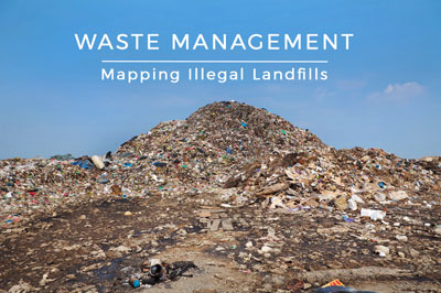
Mapping Illegal Landfills in the City of Zagreb (Use Case)
This use case describes the project done by a GIS student Morana Labović, who collected data on the illegal landfills in Zagreb to create an interactive map for raising citizen environmental awareness. Due to the increasing quantity and its harmful effects on the environment, waste is one of the most significant environmental problems of...
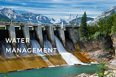
Watershed Management with Cloud GIS
Watershed management is one of those topics that come up in the public discourse usually in case of natural occurrences and disasters such as floods, droughts, problems with a water supply or the infrastructure. Recent problems with the Oroville Dam in California, where the heavy rain was a cause for concern in case...
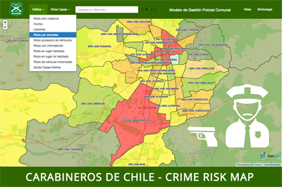
Crime Risk Map – Carabineros de Chile (Case Study)
Police departments around the world are increasingly using online GIS for a variety of tasks, including emergency response, analyzing and predicting crime rates, tactical planning and daily coordination, to name a few. Read about Police of Chile (Carabineros de Chile) who choose GIS Cloud to create crime risk maps with real-time information. Police departments...
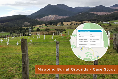
Cemetery Map: Creating Online Burial Records of Maori Tribe (New Zealand)
In the digital age, many cultural practices important for local communities are facing the threat of being forgotten. One of our most inspiring user stories, demonstrating the great potential of GIS Cloud mapping technologies, comes from Pipiwai, Northland (New Zealand). Delaraine Armstrong, Betty Cherrington, and Margaret Tipene, who won the 2nd prize in the...

Importance of Open Data for Local Governments
How can local and federal governments contribute to the digital transformation, citizen engagement and information transparency? Some of these questions were in focus last weekend (4.-6. of March), when CodeAcross and OpenDataDay events were held in Zagreb. Events included different panels focusing on information science curriculums and the importance of open data for governments and...

4 Main Reasons Why Governments Choose Cloud Based GIS
One of recent trends in the process of digitalization within local governments infrastructure such as city councils, governmental agencies and departments is a growing use of cloud-based software solutions which are improving their functionality in many segments. Since most of the paperwork, statistic and public data is now digitized and more easily accessible by both...
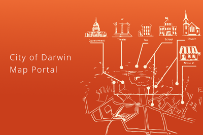
Exploring the City of Darwin Map Portal
Geographic information system tools increased popularity in local government projects toward its citizens demonstrates this premise, and City of Darwin took advantage of this insight creating an admirable City Portal for its residents.
City of Darwin map portal, powered by GIS Cloud, was conceived as a web map on which City of Darwin citizens could find the information on city infrastructure and facilities.

GIS Solutions for Government – Data Publishing Case Study
Many governmental departments just recently started to discover how to benefit fully from geospatial technologies. This particularly affects the planning, public works, and services departments that need to have adequate tools for data visualization. Having all of that on a custom map in real time might be a game-changer in terms of creating...
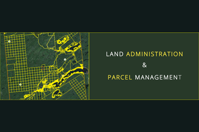
Land Administration And Parcel Management in the State of New York (Case Study)
Data visualization makes our lives easy and simple. It is not a new thing, but the way we do it improves and upgrades daily. Just recently we were still drawing maps, filling forms manually and collecting GPS locations as a single point, with no media associated. With the boom of free data that...

Cloud Solutions for your Local Government GIS
Using GIS in Governments, whether local, State, or Federal, has become a must. It helps departments work together much faster; it improves the decision-making process, engages the community, and improves day-to-day operations and long-term planning. Local Government incorporates a lot of different departments, that all use GIS in a different but also similar way...
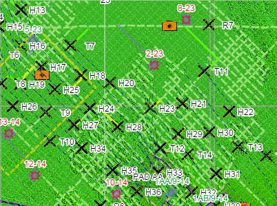
Oil and Gas Case Study: Providing Client Mapping Data Online
With the upcoming webinar, where we will show you some of the GIS Cloud user success stories, we wanted to present you a Consulting success story from the Oil and Gas industry. We did a short interview with CORE Geomatics, asking them to describe what their projects are about and how has GIS Cloud helped...
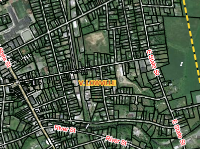
Lewis County Case Study: Small Community Cloud Solution
With the ongoing discussion on the topic of cloud computing phenomena and what it means for the GIS industry, we wanted to give an overview of just how wide the spectra of cloud dimensions is. The big players are well endowed in the Cloud and cloud solutions, but what about the small players and small...
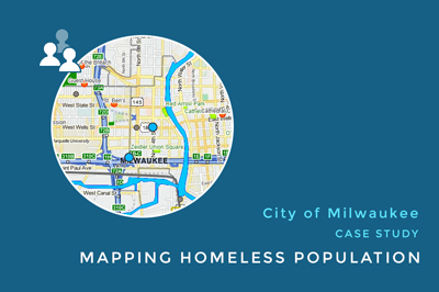
Using Maps to Identify Homeless Population in Milwaukee (Case Study)
Over 100 million people around the world have no shelter whatsoever. With the turbulence in the global economy, homelessness is becoming an increasing problem all over the world. The growing rate of the homeless population especially concerns American society. One of the ways to begin resolving this problem is to create a specifically designed...
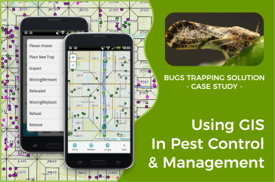
Using GIS In Pest Control And Management – Tulare County CA (Case Study)
Online GIS is becoming an essential platform for pest control and management worldwide. Collecting data, creating maps, and conducting geospatial analysis on a large scale helps prevent the spread of pest disease. It is used to interpret and analyze patterns to understand spatial interaction between pests, soil, and vegetation affected by...
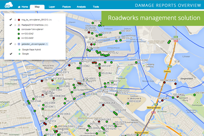
Roadworks Solution: Damage and Maintenance Reports for the City of Amsterdam
The city of Amsterdam is the capital and most populous city in the Netherlands. It is considered to be an alpha world city by the Globalization and World Cities (GaWC) study group. With ranking 3rd in innovation by 2thinknow in the Innovation Cities Index in 2009, search for cloud computing solutions took its momentum in...
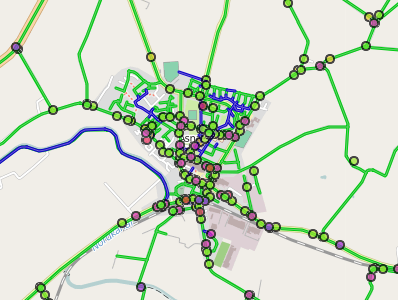
Road Infrastructure and Maintenance Solution: Odsherred Kommune Case Study
Odsherred is a peninsula in the north-western part of the island Zealand (Sjælland) in Denmark, stretching from the Sjællands Odde in the north-west to the now drained fjord Lammefjord in the south. It covers an area with a wide range of the most typical Danish landscapes such as long sandy beaches, small rolling hills and...
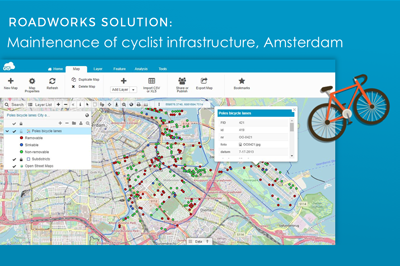
Traffic Management Solution: City of Amsterdam Case Study
The City of Amsterdam is one of the most bicycle-friendly large cities in the world and is a center of bicycle culture with a good cyclist infrastructure. Therefore there is a pressing need for a quality maintenance of bike lanes, racks, poles and different types of bike infrastructure on regular basis. Learn how they...

Data Publishing Solution Case Study: City of Canton
City of Canton is the county seat of Cherokee County, Georgia in Unites States. With the increasing population and development of the city, the need for fast, efficient and affordable GIS solutions have emerged. The majority of spatial data City of Canton has is in the form of ESRI shapefiles, so the idea was to...
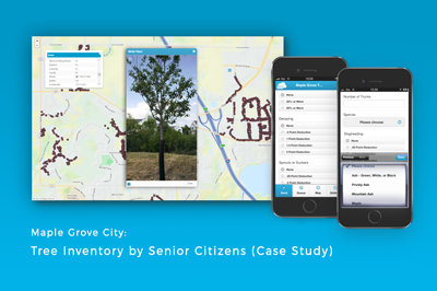
Mapping the Emerald Ash Borer infestation in Maple grove (Case Study)
The City of Maple Grove had a serious problem with an Emerald Ash Borer infestation. The first project the City undertook was to measure the condition of the public trees to identify the pest threat that has been severely affecting the trees in that area. Before the city could start the emerald ash borer...
Products
How it Works
Mobile Data Collection
Map Editor
Map Viewer
Map Portal
Crowdsourcing
Publisher for QGIS
Publisher for ArcMap
Geocoder
Terms of use & Privacy policy © GIS Cloud Ltd


