As GIS Analysts, Specialist, Data scientists, and Technicians we are the holds of a lot of information. Many of us are the go to person for all sorts of questions.
How deep is that sewer line buried? What infrastructure is within 50 feet of this road? What do documents say? How many feet of pipe run through this parcel?
You are a GIS user and can answer all these questions.
Other requests require more digging and research.
Who granted us this easement? Can you draw the right of way for me on a map? Show me all the encumbrances for this parcel.
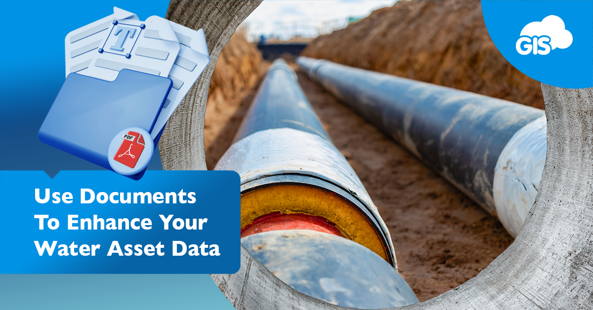
Managing assets and providing the best data is a constant challenge. Using documents linked to your assets can give you an easier method for finding this information.
The key to an effective document library is organization and attention to detail. Once it is implemented, you will reach a whole new level of knowledgeability.
Document Linking: An Untapped Strategy
As builts, legal records, and parcel maps each contribute to the history of a water asset. Each looks at the asset from a different angle, but as a whole, they give you a 360° view.
One gives the details of where and when the asset was constructed. It also provides the engineering facts and final.
The recorded documents, the legal records, and parcel maps provide essential information on ownership, legal boundaries, and historic transaction records. Each document gives you and your team a deeper understanding of the area, the utilities, and the stakeholders involved.
You may already have all these documents in your document library. That’s a great first step.
The next step is to leverage this information as part of your GIS Cloud solution.
Challenges in Water Asset Management
Managing a water district and its assets is a difficult task. It takes a team of staff with the proper tools, equipment, and know how.
These challenges include:
- Aging infrastructure
- Water quality
- Population growth
- Climate changes
- Financial limitations
- Data management
- Regulatory compliance
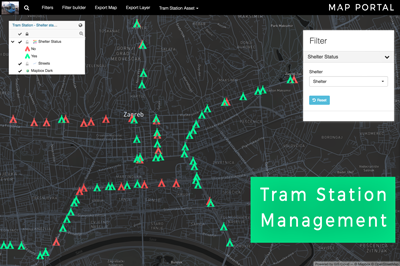
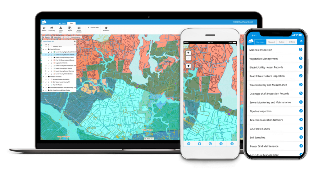
Each of these challenges present their own difficulties, but one solution can put you on the right track. Online GIS Solutions like Map Viewer and the Mobile Data Collection application can show the light at the end of the tunnel.
These powerful tools won’t make your old pipes young again or slow the population growth, but they can provide the answers to these challenges.
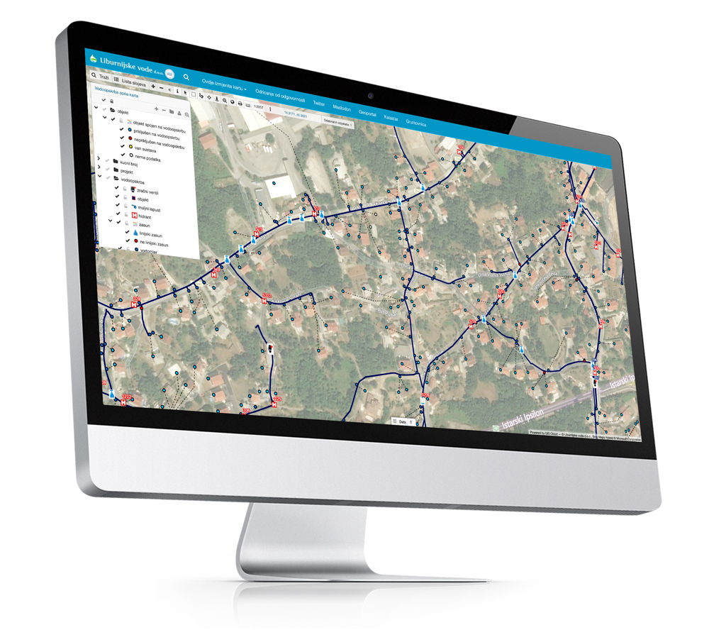
Map Viewer can share the age of the pipelines with your stakeholders and prioritize improvements of outdated infrastructure.
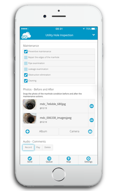
The Mobile Data Collection application can guide you in the field to where the next part of the water system is being built.
Additional analysis can tell you the size of pipe you’ll need to accommodate your population growth, build in a financially responsible way, and manage the GIS data with accuracy and reliability.
Documentation In Action
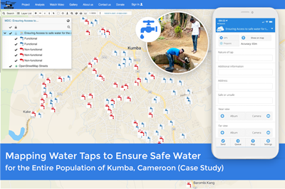
GIS Cloud’s tools can give you important information on your assets from your office desktop and your mobile phone. With a digitized GIS, your data can go anywhere.
The platform is compatible with all kinds of data types, making it an easy process to digitize your assets.
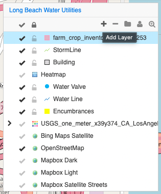
There are two options for linking documents to your water assets.
- Attach the document file as an attachment
- Link the documents by URL
The instructions are available here in the GIS Cloud Manual.
The document attaching and linking is done in Map Editor. If you want to attach the documents, you will need to upload the files to the GIS Cloud File Manager.
If you have URLs to the files, they can be pasted into the field of the corresponding asset.
Tips and Tricks for Document Linking
The key to a good document system is being organized and planning ahead. You have the 2 attachment options.
Our clients have linked multiple documents to assets.
If you decide to link documents by URLs, name the fields along the lines of “AsbuiltLink” or “DocLink”. This will guide users to the files they need.
To improve your data, you may want to add fields that can store the data contained in the documents. There are many possibilities from the different documents.
Asbuilt:
- Date and/or Year installed
- Linear feet per the asbuilt
- Pipe material
- Inverted elevations for both ends
Legal records:
- Date recorded
- Grantor/Grantee of the easement
- Easement type by utility or access
- What is the current status of the easement?
- Active
- Expired
- Pending
- Area size by square foot or acres
Having this data readily available to your stakeholders in a Map Viewer will answer 95% of their questions. Your investment in developing such a rich data source will repeatedly pay itself off.
Conclusion
Managing water assets under a water district or treatment requires being in the know. A digitized GIS sets you up for success, while linked documents set your entire organization up for success.
These data upgrades further improve the information available to you and your team. They answer questions that, in the end, would take your attention away from important work.
You can sign up for our 14-day free trial or sign up for our December GIS Cloud Advanced course. This 2-day course will teach you how to master the essentials and unleash the full potential of GIS Cloud through hands-on exercises led by our own industry expert.