
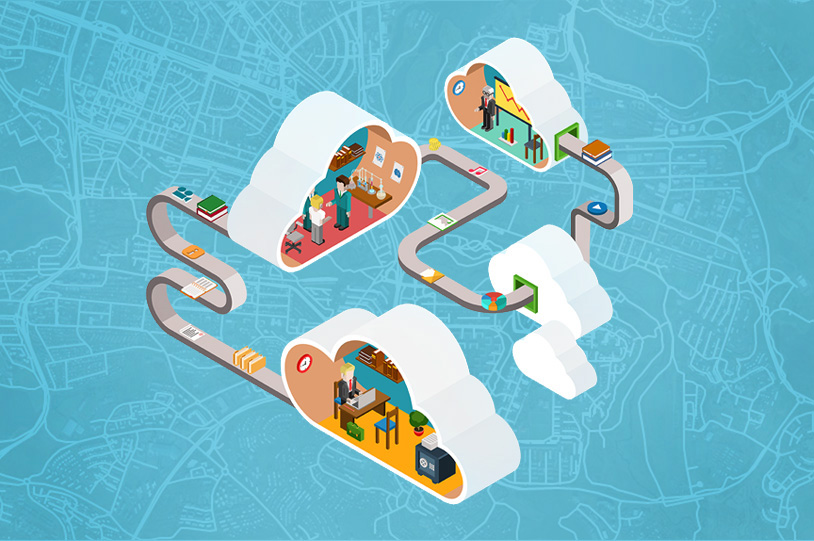
One of recent trends in the process of digitalization within local governments infrastructure such as city councils, governmental agencies and departments is a growing use of cloud-based software solutions which are improving their functionality in many segments.
Since most of the paperwork, statistic and public data is now digitized and more easily accessible by both governmental staff and citizens, the next logical step in this process is the adoption of cloud computing in regular governmental workflows.
So, why do local governments often choose cloud-based GIS solutions over desktop GIS?
Here are the 4 key reasons:
1. Cloud GIS significantly improves collaboration between different people who share and update the mapping data. Collecting, adding, editing and publishing location data can be done simultaneously, enabling field crews and office staff to collaborate in real time.
2. Improved collaboration brings more efficiency to department’s workflows and therefore reduces time, costs and energy for various departments. With cloud-based software, you can do more in less time, utilizing smartphones, tablets and office computers as an extension for improved flow of information. You no longer have to collect data in the field, go to the office, wait for it to upload, and then start with the analysis or further planning. Now governments can execute their projects and make decisions based on real time data.
3. Cost-effectiveness: cloud solutions are usually more cost effective than desktop GIS solutions for at least two reasons. One is that using cloud GIS doesn’t require investing in “in-house” servers, therefore reducing the costs of technology together with costs of hiring extra IT staff for server maintenance. The other is connected with improving staff’s workflow which reduces the cost of working hours.
4. Citizen Engagement – Last but not the least, Cloud GIS solutions are the perfect tools for driving citizen engagement by opening your data to public use and interaction. The data is already in the cloud which also means that it is just a few clicks away from publishing.
Want to know more about GIS Cloud solutions for governments? Contact us here.
Also – watch out for our webinar announcements this on our social sites (Facebook, Twitter and Linkedin) or check out GIS Solutions for Smart Cities webinar recording.