
We present you a case study with a great story about public map implementation in a local government workflow. Local governments, as well as different commercial and noncommercial organizations interested in placing their data on public maps, are just discovering the benefits of informing and engaging people and communities in various activities with the help of geospatial technology.
“The time, cost and resources required to deliver these projects were considerably less with GIS Cloud than would have been using previous systems.” – Josh Forner, City of Darwin
The City Portal Project
The city of Darwin is an exquisite example of a well-elaborated approach of a local government toward informing and engaging its community with the help of cloud infrastructure. One of many means for ensuring the successful implementation of democratic principles such as information transparency and citizen participation in the community lies in a smart deployment of various software solutions.
Making the data about various projects, happenings and infrastructure – pools, playgrounds, schools or waste disposal facilities publicly available on a map can help the citizens to find all relevant info in one place so they could have easier access to everything their city offers them. Finding the right playground, clinic or even local government office on city portal increases the overall number of visits to the official city website and this not only helps the citizens with their needs but also creates a new channel for communication where the city officials could inform and engage their citizens about public projects, roadworks or local elections process.
Geographic information system tools increased popularity in local government projects toward its citizens demonstrates this premise, and the City of Darwin took advantage of this insight creating an admirable City Portal for its residents.
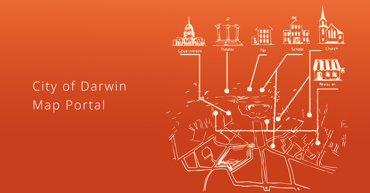
City of Darwin portal was conceived as a web map on which the City of Darwin citizens could find the information on city infrastructure and facilities.
Scraping the Old Workflow for the City Portal
Although they knew they need a way of engaging their citizens through a map, they needed a simple way of publishing all their data without having a dedicated in-house server. Also, some of the data had to be collected in the field first, which presented an issue within their existing software solutions because they used desktop programs which required having data collected with smartphones and tablets downloaded and merged back in the office. City of Darwin’s staff wanted to be able to update the data on infrastructure such as photos, links and working hours for facilities directly to the project.

The GIS Cloud Map Portal
City of Darwin’s staff used GIS Cloud Map Portal to provide their community with rich and detailed information on public facilities and infrastructure. They have included information such as the location of childcare centers, the opening hours of public swimming pools and photographs of all of their community playgrounds so that people visiting their website can find location, photos and other information. Also they have included infrastructure data such as stormwater pipes, roads and footpaths on their web maps which are quite useful for field crews who are working on infrastructure maintenance and easily accessible through smartphones and tablets on the site.
All this information was added to publicly available branded map portal under City of Darwin’s logo and adjusted to their specific needs. Aside from the Map Portal, they have also used the Mobile Data Collection app to collect and update some of this data.

GIS Cloud’s Map Portal together with Mobile Data Collection was an optimal solution for City of Darwin map portal and data collection projects.
Mobile Data Collection application helped City of Darwin’s staff to make their workflows more efficient because it enabled them to collect and update data on the web map in real-time and with multiple users. Therefore they avoided having to work in offline conditions. Now they can collect data that is immediately visible on their GIS Cloud Map Portal.
Summed up by Josh Forner:
“Portal has allowed me to create very detailed and information-rich web mapping application with limited resources. Mobile Data Collection has allowed me to quickly deploy data collection projects that are user-friendly for field staff.”

The key points for which they would recommend GIS Cloud were:
- GIS Cloud is very easy to set up. Many data formats are supported and web maps can be created in minutes.
- The Mobile Data Collection application allows you to collect or update data in real time using customizable data fields.
- Deploying web maps is quick and easy either by embedding a map or using the more advanced features of the portal.
Want to find out more about City Map Portal? Check out this webinar recording.