
Field to office on one live map
You don’t need another platform. You need one live map everyone trusts, where field updates appear instantly for the office and decisions reach crews in minutes.
The challenge
Point tools, slow reviews and costly rework
Field data lives in a mobile app, as-builts sit in folders, BIM and sensors live elsewhere. The result is slow reviews, duplicate surveys and rework, plus budget risk from usage-based pricing and long deployments.
Maps arrive as exports, not as a living source of truth. That gap is where schedule and cost overruns are born.
How GIS Cloud helps
One trusted map, from site to skyline
Capture as it happens
Crews record trenches, duct banks and changes with photos and geometry that sync to the site map in real time.
Review without revisiting
Reviewers mark items resolved from the office on the same live map: fewer return trips, faster close-outs.
Trusted by everyone
QS, inspectors and PMs read one current picture; stakeholders track progress in a private viewer.
As-builts without the repeat visit
- 1Field capture: a GC records as-builts and changes on mobile, with photos, in true offline mode.
- 2Instant office view: geometry and photos sync to the live map within minutes for review.
- 3Same-day decisions: reviewers resolve items remotely; the team reports fewer revisits and faster close-outs.
Powered by GIS Cloud AI
Describe it, map it, move on
Ask GIS Cloud AI to select, classify or summarise across your project layers in plain language. It proposes the change on the canvas, so you review and confirm before anything is saved.
Explore GIS Cloud AI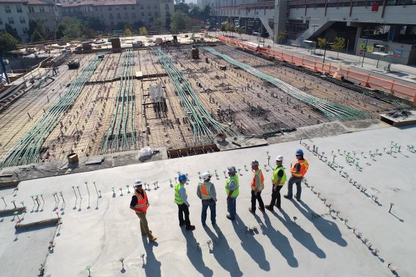 AEC Projects
Case study
Field to Office: Real-Time GIS for AEC Projects
Connect field crews and the office on one live map: cut repeat site visits, speed up reviews and improve cost predictability across the project lifecycle.
Read the storyPut your project
on one live map
Pilot a site or corridor and see speed, control and cost predictability now, not next quarter. No credit card, no setup.