Give us some information about your work and get a personalized demo.
Oops! Something went wrong while submitting the form.

Non Profit
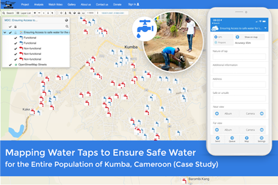
Mapping Water Taps to Ensure WASH Infrastructure and Safe Drinking Water for the Entire Population of Kumba (Cameroon)
Ensuring safe and clean water for the people across Africa is one of the greatest problems on the continent. Water sources are often miles from towns and villages, so people are forced to spend hours each day simply finding and transporting potable water back to their homes. In the city of Kumba (Cameroon),...
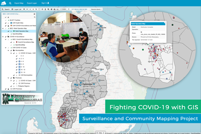
COVID 19 Surveillance and Community Mapping Project Using a Real-time Web GIS Platform in Philippines
COVID 19 is quickly spreading in the Philippines at an alarming rate. At this point, efforts to contain the virus depend on a contact tracing technology. The University of Cordilleras – Research and Innovation Office (UC-RIO) in Baguio City has developed a system powered by GIS that enables real-time reporting, inter-agency data sharing and...
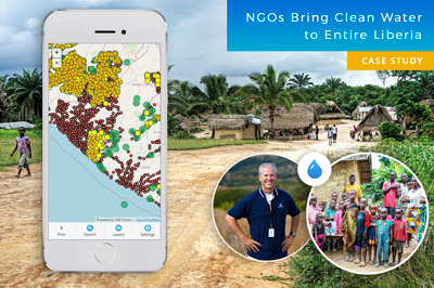
Mapping Entire Liberia To Bring Clean Water to Everyone – GIS for NGOs (Case Study)
Water is one of the Earth’s most valuable resources. Some of us take drinking water for granted, while millions of people across the globe can’t even imagine having everyday access to clean water. This is a success story about a project in Liberia that began in 2015, where nonprofits joined forces to map the...
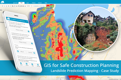
Landslide Prediction Mapping for Safe Housing and Construction Planning Using GIS
Landslides in the Kivu region (DRC, Africa) caused significant socio-economic destruction and have highly impacted the population. BEGE-RDC, a nonprofit organization, integrated its desktop and online workflow and created a heatmap with GIS Cloud apps that would emphasize the hotspots of the landslides and help predict development risks of this region. How can mapping...
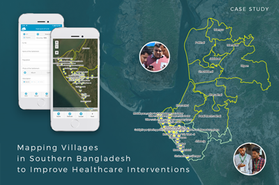
Mapping Villages in Southern Bangladesh to Improve Healthcare Interventions
The project is a part of a larger initiative that tries to tackle the spread of disease caused by extreme air, water, and soil pollution in Bangladesh. The initiative plans to establish a disease surveillance system and conduct a spatial analysis to determine high-risk areas. This is a pilot project and covers the first...
Malaria Risk Map: Using GIS to Combat Malaria Disease in Nigeria
The case study is based on the project “Geospatial modeling of malaria risk areas and vulnerability (severity) using environmental, climatic and socio-economic factors” and it’s an example of using GIS technology as a tool to combat the malaria disease. The project was created by Ayodele Adeyemo, a geogeek looking for ways to leverage...
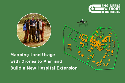
Mapping Land Use With Drones To Help Build A Hospital In Tanzania (Case Study)
One of the largest hospitals in Tanzania needed a land use map to help them build a new hospital extension. To improve medical care in this area and speed up the development of the community, an NGO provided engineers to plan the extension and the drone survey. Yet, their hands were tied on account of...
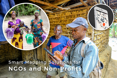
7 Ways Online Maps Can Empower Your NGO or Nonprofit
Nonprofits and NGOs face many common challenges when trying to promote and achieve sustainability, equality or develop smart solutions for various causes. For example, finding funds for an ambitious project can be demanding, never mind living up to donors’ expectations, or getting the word out about the awesome projects you’ve been working on. Connecting with...
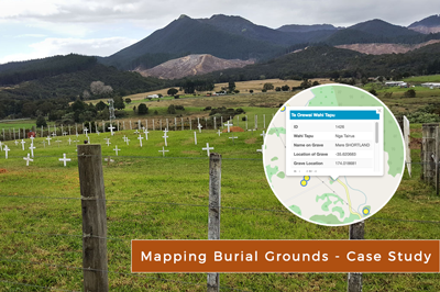
Cemetery Map: Creating Online Burial Records of Maori Tribe (New Zealand)
In the digital age, many cultural practices important for local communities are facing the threat of being forgotten. One of our most inspiring user stories, demonstrating the great potential of GIS Cloud mapping technologies, comes from Pipiwai, Northland (New Zealand). Delaraine Armstrong, Betty Cherrington, and Margaret Tipene, who won the 2nd prize in the...
Products
How it Works
Mobile Data Collection
Map Editor
Map Viewer
Map Portal
Crowdsourcing
Publisher for QGIS
Publisher for ArcMap
Geocoder
Terms of use & Privacy policy © GIS Cloud Ltd


