
This case study shows how a utility company, Smith Brothers Group, improved the efficiency of inspecting asset conditions and field data collection by 30% with the GIS Cloud mobile apps for water utilities.
The Smith Brothers Group operates in Australia and works on various water and sewer utility projects for local government units. They also offer services for the pipeline, electric utilities, and real estate sectors. The company was recently acquired by the real estate giant Cushman & Wakefield Facilities Services.
Keep reading and learn how to empower your field operations with mobile apps for data collection and tools for monitoring fieldwork.
Tackling Challenges in Water & Sewer Utilities
When working on water utility projects, the Smith Brothers need the accurate location of underground and above-ground assets and infrastructure. That is where the GIS Cloud solution steps in by enabling the field workers to capture critical information live, via mobile devices and also allow access to information about a particular site, all the time. The projects they work on range from local Councils/Municipalities to Government agencies.
Our capabilities increased in the areas of data collation and accuracy. Also, our clients are increasingly using their data in useful ways. — Michael Dew, Manager
The main challenges where the GIS Cloud solution delivered results:
- Improving methodology in workflows on-site and the office
- Accurate reporting of confirmed infrastructure and its specifications
- Collation of confirmed asset information on an accurate large scale.
Boosting the Field Workflow with Mobile Apps for Data Collection
At the start of each project, the Smith Brothers consult with clients to get a better sense of the targeted outcome. The requirements will depend on the client; however, they usually collect location data and assess the condition of these assets:
- Manholes
- Hydrants
- Backflow & Isolation Valves
- Waters meters
- Water Mains
- CWMS infrastructure
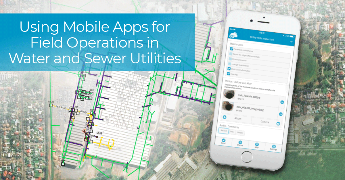
Depending on the asset type and the client requirements, they design a custom mobile form for the Mobile Data Collection app.
The app allows them to map and record information of a large number of utility assets, having information available instantly online to the entire team, which ultimately replaced the paper-based methods for field data collection.
Locating, aggregating, and searching through paper survey forms to detect and inspect the condition of a single asset is a thing of the past for Smith Brothers. The app also works as a water utility condition assessment tool.
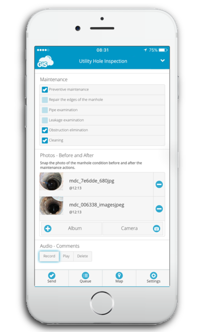
An example of a Mobile Data Collection form for a water and sewer utility project.
When the form is created using a form builder in the GIS Cloud web app, managers can share it with workers in the field, and they can access and fill-in the form on their mobile phones. GIS Cloud app makes it easy to share the forms and control the access to forms and data for different roles, with the option to manage access permissions. It also enables the operations manager to organize teams only to collect new asset data, or to update existing records.
When mapping or inspecting the water utility assets, they record:
- Asset Conditions
- Asset Documentation
- Asset Images
- Asset Location
The MDC app helps in providing a simple user interface that is customized by us, so our operators are collecting information in a logical order as per our clients’ requirements.
— Jason Harris, former Site Manager (now Director at Harris Plumbing and Drafting)
Monitoring Progress and Creating Reports
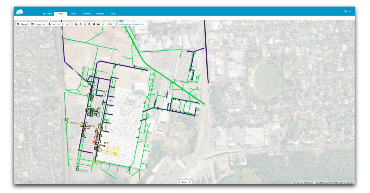
When the field operators collect the field data, it instantly shows in the GIS Cloud Map Editor as a point, line, or polygon (depending on the project). This allows the managers to supervise field work in real-time and react immediately if the collected data is not of adequate quality. The clients can also be a part of the workflow and monitor the incoming field data using the Map Viewer app.
The Map Editor also provides a way to monitor progress for each field operator and create reports to track productivity.
When the Smith Brothers finish the project, they use the Map Editor to produce reports and maps for clients. The clients then integrate the data into their GIS system.
Business Improvements as a Result
The field operations team noticed a massive improvement in the reduction of paperwork. Generally, a field operator needs to check the paperwork many times a day. With the GIS Cloud platform, all the necessary data is on the web and mobile app where they can instantly check the location and status of the infrastructure in the recording process.
The GIS Cloud solution also improved the efficiency of the complete field operations workflow. In the words of Michael Dew, manager at Smith Brothers:
I would say the time is reduced by 30% in the workflow process of current tasks.
Interested in trying out the GIS Cloud mobile apps for water utilities? Sign up for the free trial. You’ll have 14 days to test the apps with all premium features and see if they fit your field workflow.
If you would like us to show you around and propose the best GIS solution for your specific workflow, don’t hesitate to contact our sales consultants.