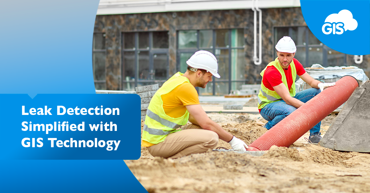
Leaks occur frequently in water utility systems. They result in water loss and high repair costs. Pipe and valve leaks demand attention from important staff members and are a distraction.
Detecting hidden leaks can also be expensive and take crucial funds from the budget.
These issues can be tracked, analyzed, and even predicted using mobile applications powered by GIS.
Tracking Leak Detections with GIS
Collecting the leak detections impacting your system is the first step in leveraging a digitized GIS solution. Whenever a leak is discovered, the details should be cataloged into your online GIS directly from the field.
A mobile application like the Mobile Data Collection (MDC) application from GIS Cloud can collect, store, and share the important details of the leak. The MDC application will also capture the location of the leak.
All these capabilities can be used offline in case you lose internet service.
What if you can’t access the exact leak location?
In the MDC app, you can edit the data point location as needed to show where the leak occurred. Using an external Bluetooth GNSS receiver will locate your position down to centimeters of accuracy.
The MDC application is compatible with a variety of GNSS receivers:
- Bad Elf
- EOS Arrow
- Garmin
- Juniper
- Leica
- Trimble
What other data can you capture in the field? The possibilities are endless with the MDC application.
GIS Cloud gives you the ability to use their project templates as well as creating your own custom forms. You can collect text, numbers, dates, times, coordinates, and photos in these forms.
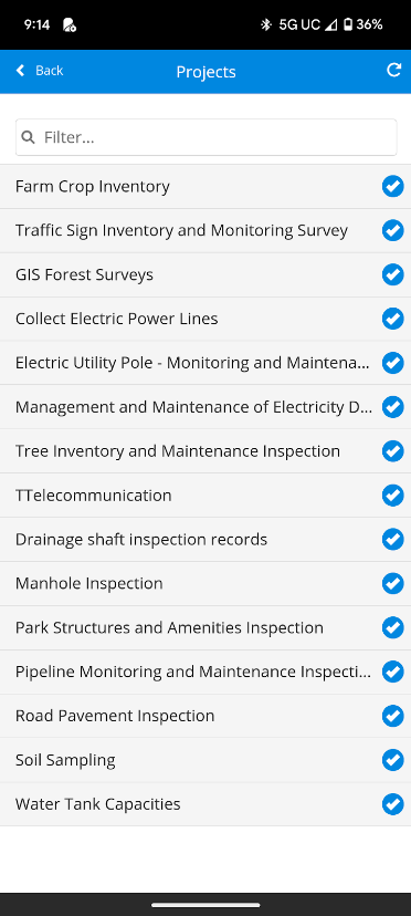
There is the ability to use drop-down menus and multiple-choice selections filled with expected values. The expected values keep your data entry accurate and consistent. More time in the field collecting data and less time in the office QA/QC’ing the data.
A good form for collecting Leak Detection data should include:
- Date
- Time
- Location
- Asset Type (Type of asset leaking, e.g. pipe, shut off valve, backflow prevention valve)
- Asset Material
- Asset Install Year
- Asset Condition
- Tree Roots (Yes or No)
- Last Maintenance Date
- Water System Type (examples: Potable Water, Reclaim, Raw)
- Asset Pressure Reading
- Detection Method (Acoustic, Ground Penetrating Radar “GPR”, Tracer Gas, Surface Mark
- Cause of Leak Prediction (Corrosion, Age, Poor Installation)
- Notes (Additional information)
- Employee (Document who collected the information)
- Photos (Document the evidence of the leak)
This template gives your team a basic outline for important information they can capture at the time of the leak detection discovery. You can also link documents like as-builts and recorded easements to the field data.
Spending the time to build an in-depth field data form will pay off during your analysis.
Analyze Historic Leak Detections in Map Environment
The analysis of data is a powerful GIS tool. The strength of an analysis is the data going in. Good, complete, accurate, and reliable data will give you confident and actionable results.
You may want to consider your analysis goals before creating your MDC data form. Understanding what information you want to inspect will tell you what information you need to collect or gather.
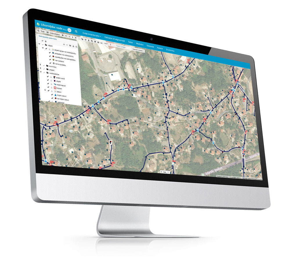
A data analysis can be done using GIS Cloud’s Map Editor application and online solution.
The analysis tools include:
These tools can be run on your field-collected data and other spatial data sources.
Soil types can also be included in the analysis. Contours and elevations may reveal where the low spots are in your utility systems.
GIS Cloud can handle different file types, so working with different data sources won’t be a barrier to any of your research. These sources can be:
- Web feature services
- Shapefiles
- KMLs/KMZs
- ESRI ArcMap
By bringing in other external data sources, you will be able to further your analysis.
Predicting Future Leaks With GIS Collaboration
The results of your research can show the common factors between different leak occurrences. If a pattern is unclear to you as a GIS professional, you can recruit your team members to help.
Sharing your maps and data into your GIS Cloud’s Map Portal will give you the ability to collaborate with colleagues.
Your team can work together from anywhere in the world using Map Portal. They can access the maps through desktop and mobile applications.
The Map Portal can be customized with your organization’s logo and contact information. Making the access public will give people outside your organization the ability to view your data and become informed.
The public dashboard can show the public where leaks have occurred and the efforts being made to address the issue. Transparency builds trust in your organization and its mission.
Your team will have access to custom reports, you can deliver a leak detection summary of the event. These custom reports can be changed to fit your goals with the help of one of our GIS Cloud Solution Consultants.
Conclusion
Water leaks don’t need to be a constant problem for your organization. There are powerful solutions available at affordable prices that can prepare your team for a swift response.
GIS Cloud has helped many clients digitize their assets and move to a cloud-based solution.
Your next step should be to sign up for our free 14 day trial and meet with one of the Solution Consultants. Our team’s expertise can help make the transition a smooth one.