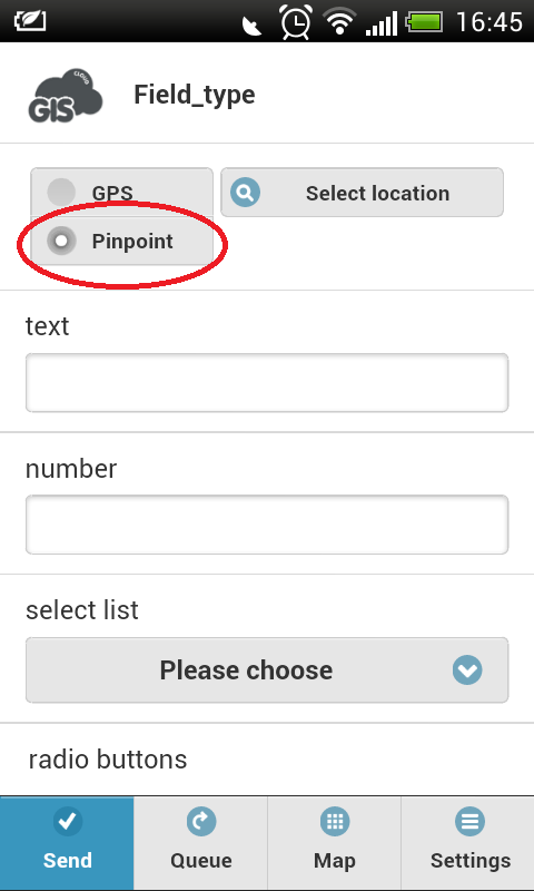
After choosing a map and a layer in which you are planning to collect data, the next step is to choose how you want to define location. If you choose GPS option, location accuracy will depend on GPS precision in your mobile device and on satellite availability.
The second option is to define location manually. This way you can define, not only your current location, but any other location on your map.
This increases precision of your data because you can position pointer on the exact location and mark it down with millimeter accuracy.
1. Choose Manual option
2. Click on Select location icon
3. Set pointer on the wanted location
4. Accept
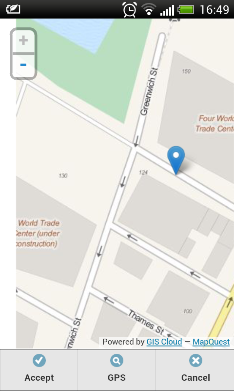
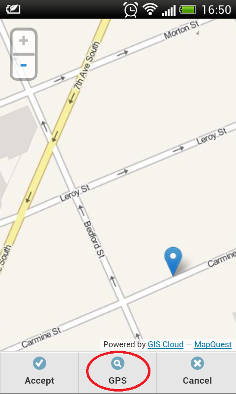
If you decide that you want to use GPS locator after all, there is no need to go step backwards. Just choose GPS icon and your location will be found automatically.
Comments are closed.