
GIS Cloud Blog
Product releases, success stories, tutorials and webinars, from the field to the office.
354 articles
GIS Cloud and Power BI – Infrastructure Management with InfraTrace
GIS is a powerful tool being used worldwide. Maps have become an effective tool for communicating information to people. In recent years, maps have…
Improving Road Infrastructure in Australia with Online GIS (Case Study)
The District Council of Mallala, now known as Adelaide Plains Council, in South Australia, has been using GIS Cloud for over eight years. The…
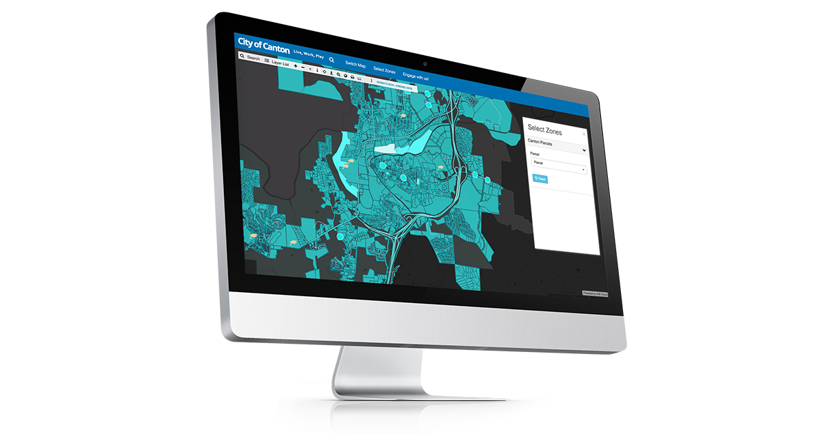
Key Benefits of Using GIS Cloud’s Map Portal
Discover the essential benefits of GIS Cloud’s Map Portal, a dynamic and user-friendly platform revolutionizing the way GIS professionals and enthusiasts interact with mapping technology.…
GIS Cloud Benefits: Super-fast High Definition Maps
The GIS Cloud team takes great pride in having accurate and detailed super fast high definition maps. Aside from providing remarkable map visuals where every…
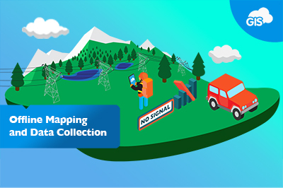
Offline Mapping and Data Collection
GIS Cloud’s offline maps feature has proven to be a helpful tool not only in remote areas with poor signal but in cases where using…
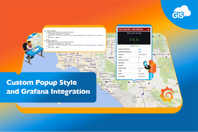
Custom Popup Style and Grafana Integration
Author: Marko Polovina, Frontend Developer at GIS Cloud Info popup is one of our standard UI components to visualize feature data. By default, the component…

GIS Cloud Integrations
The GIS Cloud team is proud to be a part of the group of platforms that offer a better user experience with diverse integrations and…
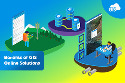
Benefits of GIS Online Solutions
For years now, online GIS solutions have been improving the efficiency of thousands of organizations in their day-to-day operations. The benefits of these solutions go…
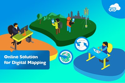
Online Solution for Digital Mapping
One of the main benefits of any GIS software has become sharing data and collaborating on maps in real-time. GIS Cloud’s platform offers a single-click…

Master GIS Cloud In-Depth!
At GIS Cloud, we always do our best to ensure that our apps are user-friendly and used by GIS and non-GIS users alike. Our team…
Woodland Survey – Evolving Forests Use Case
Delighted for the opportunity to design and deliver a woodland survey focused on Dartmoor commons, our client Evolving Forests joined the ‘Healthy Trees for Tomorrow’…
Create a GIS Project in 3 Easy Steps
Starting a GIS project has always seemed like a hassle to non-GIS users and even beginners in this field. However, creating a map that anyone…