
GIS Cloud Blog
Product releases, success stories, tutorials and webinars, from the field to the office.
354 articles
Mastering Field Data Collection Efficiency and Best Practices: Webinar Recap
Field data collection stands at the forefront of many sectors, from infrastructure and environmental monitoring to asset management. But often, data collection faces inefficiencies due…

Critical Telecommunication Assets Supported with GIS
Data centers, fiber optic lines, and towers make up the telecommunication networks that connect people from around the globe. These physical assets are the critical…
PSD Citywide & GIS Cloud New Integration Partnership
London, Ontario & Zagreb, Croatia – September 21, 2023 – PSD Citywide® is pleased to announce its new integration with GIS Cloud, a leading European…
Never Miss a Data Point: Offline Data Collection for GIS Professionals
Working at a site without cell service shouldn’t prevent you from getting the job done. GIS Cloud’s Mobile Data Collection (MDC) application simplifies editing…
GIS Powered Telecommunication Network Maintenance
Maintaining your telecommunication network is a critical part of your operation. A digitized network backed by GIS will improve your maintenance workflows with the introduction of…
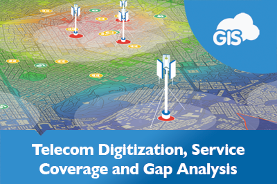
Telecom Digitization, Service Coverage and Gap Analysis
How much does your telecommunication network cover? How many customers are within your reach? Where are your oldest assets? A quick analysis in Map…
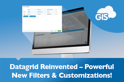
Simplifying Data Analysis: A Guide to Filtering the Datagrid
It’s been two months, but we’re still buzzing from the release of our new Datagrid! So, we wanted to take this opportunity to show you…
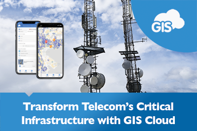
Are You Ready to Digitize Your Telecom Critical Infrastructure?
In today’s rapidly evolving telecommunications industry, staying competitive and reliable requires more than selling superior systems or software. It necessitates a comprehensive approach encompassing all…
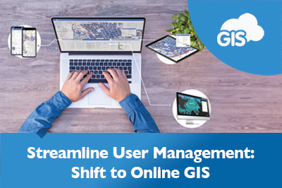
Managing Users in a GIS Online Solution
Managing users and licenses for your GIS software shouldn’t be a hassle. Project scopes and roles may change from project to project and require…
GIS Cloud’s Mobile Data Collection vs. ESRI’s Field Maps
If you have collected field data in the past decade, you probably used ESRI’s Field Maps or Collector application. Over 10 years ago, GIS Cloud…
Preserving Archaeology in Rural Landscapes Using GIS
You don’t have to be Indiana Jones to impact archaeology positively. You can be a student equipped with a smartphone. Selin Akdeğirmen Ercan is…
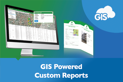
Streamline Reporting with GIS Cloud Custom Reports
Imagine it is that time of year again. Your quarterly reports to the government are due. Your field biologists have been working hard to…