Maintaining your telecommunication network is a critical part of your operation. A digitized network backed by GIS will improve your maintenance workflows with the introduction of applications like GIS Cloud’s Map Viewer and Mobile Data Collection app.
In a recent post, we discussed the analyzing capabilities of GIS Cloud and your digitized telecommunication network. We demonstrated how a digitized network empowers your organization through the use of cloud based and mobile GIS solutions.
In this post, we are going to discuss the additional benefits of using GIS to maintain your network and walk you through the process of developing a maintenance schedule for your telecommunication network.
GIS Cloud’s tools work with predictive, condition-based, and preventive maintenance plans.
An Asset Maintenance Schedule
What is an asset maintenance schedule? An asset maintenance schedule is a timetable set to ensure your network’s assets are maintained or inspected within a predetermined time window.
For example, you can create a maintenance schedule where you visit each asset every 6 months. This plan allows you to perform inspections and any necessary maintenance before issues arise. This type of schedule allows you to perform the work when it is optimal for your staff and network operations.
These scheduled visits ensure the asset is functioning properly and have not been impacted by external factors, like weather, human activity, or environmental changes.
This investment of time will prevent routine calls, increase confidence in your network, and save money by preventing unexpected large overhaul maintenance projects
Developing a GIS digitized asset base organizes your assets in a centralized location with attributes and locations that allow you to develop an asset maintenance schedule.The attributes can store asset identification numbers, install dates, last date maintenance was performed, size, costs, links to related documents, photos, and other unique asset information.
All this record keeping can occur in GIS Cloud and connect to your other management systems like SCADA or EAMS. One of our solution consultants would be happy to discuss the process with you and your team.

Benefits of Using GIS Cloud for Maintenance
Using GIS is the right decision. Using GIS Cloud is the smart decision.
There are many benefits to using GIS to track your maintenance. The benefits of using GIS Cloud as part of your telecommunication network include:
- Rapid Asset Location
- Reduced Network Downtime
- Improved Asset Longevity
- Centralized Data Portal
- Return on Investment
Rapid Asset Location
When digitizing your assets, accuracy is important. Investing the time and effort in your digitizing effort will pay dividends down the road.
You can go from spreadsheets of thousands of rows to a clean field application, like GIS Cloud Mobile Data Collection. With your telecommunication network’s assets accurately mapped in a GIS, your team will be able to locate the asset in seconds.
In the Mobile Data Collection (MDC) app, you can see your assets’ locations in a familiar setting, a satellite image of the world. Depending on how you digitized and mapped your assets, you will have the accuracies down to foot and even possibly inches.
Don’t stress about getting everything perfect from the beginning. In the Mobile Data Collection application, you will be able to edit and improve the asset locations in the field during the maintenance process.
A maintenance schedule supported with GIS will ensure your assets can be located without needing outdated paper maps or spreadsheets.
Reduced Network Downtime
By using a maintenance schedule, you will identify and resolve potential issues before they impact your service.
A common complaint among network customers is downtime. Necessary repairs can be scheduled for off-peak times and the impacted assets can be identified in your GIS system.
A GIS solution can show the impacted area and communicate to customers the extent of the outage.
There will always be emergencies like hurricanes, wildfire, or tornadoes that will affect your network. But routine scheduled maintenance can minimize the problems these unforeseen events can cause.
Improved Asset Longevity
Performing maintenance on your car keeps it running better for longer. The same can be done for your telecommunication towers and assets.
Monitoring your assets through a GIS solution will extend the life of your network hardware. The maintenance schedule will keep your assets in great condition with minimal downtime caused by preventable failures.
A GIS solution can help you predict the costs to repair, maintain, and replace assets. Knowing the lifespan of an asset will make it predictable on your budget.
The attributes of your assets can be stored in the fields of the layer. You can store costs, maintenance frequencies, time required, and downtime. This information can be shared throughout the organization through your own custom GIS Cloud portal.
Centralized Data Portal
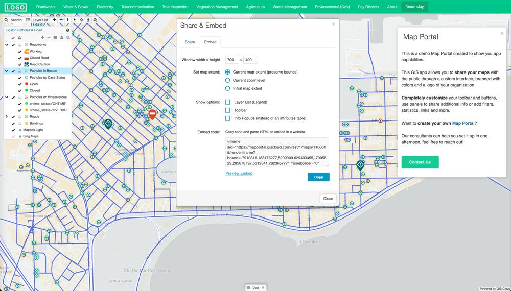
A GIS Cloud Map Portal can display your assets and track the progress of the scheduled maintenance. This portal can show the maintenance to be performed and what has been completed.
The Map Portal will show you where your assets are located and how to best perform the maintenance. The key is investing in a digitized asset inventory.
This data portal can be open to your entire organization, allowing decision makers to make informed decisions. Other staff can analyze the data to provide additional information to project managers and leads.

Return On Investment
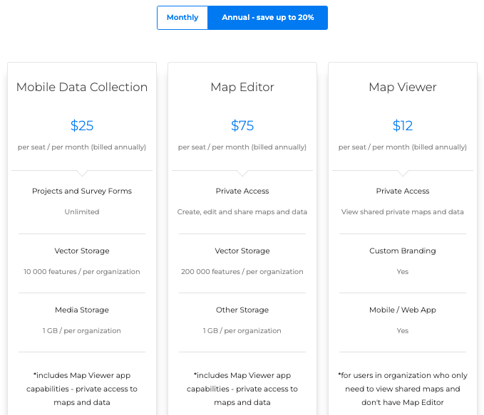
Adopting GIS doesn’t have to be a large investment of capital. GIS Cloud is priced to get you a return on your capital immediately. Legacy GIS software will charge you a fortune and force you to stay within their platform.
Using GIS Cloud will expedite your workflows, including asset location, team collaboration, and asset monitoring, offline field applications, and data analysis.

So how can I create a predictive maintenance schedule?
Creating a predictive maintenance schedule is easy, especially with GIS cloud and digitized assets.
Creating the baseline maintenance of your network is the first step. Understanding what assets you have, asset locations, and the frequency of maintenance required will guide you in creating your schedule.
Different assets require different scheduled maintenance. You can track that with an attribute or separate survey related to the asset. In our example, we are going to create a twice a year maintenance schedule.
This example has our assets digitized and ready to go in GIS Cloud. If you haven’t done this step yet, you can request a demo or sign up for our 14 day free trial to complete it.
Creating the Necessary Fields
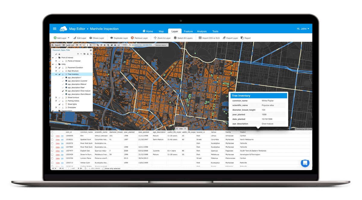
Using GIS Cloud’s Map Editor, you can add the necessary fields. Under the Tools tab, select the Forms Manager. This step is necessary to prepare the data for the Mobile Data Collection application.
In the Forms Manager, select “Create Form Layer”, select the layer we will be performing our maintenance one. Then edit the form name to identify the layer.
In the design view, or JSON view if you prefer, we will be adding the necessary fields.
For a simplistic maintenance schedule, you can create a field called “Spring Maintenance” and another field called “Fall Maintenance”. These are our 6 month windows. The completion value in the data can be a Y/N or Complete/Pending.
These fields will track your progress during each maintenance window of what has been completed and what remains.
Instead of visiting assets and performing maintenance repairs, one by one, assets can be inspected based on their service areas or regions for a more efficient workflow.

Building our Mobile Data Collection app
With our asset containing the correct fields, we can move onto the next step. Time to open the Mobile Data Collection app.
Select “Create a New Project”. Fill out the required information and add a project description. Next, select the Duplicate Existing Form, and find the form we created in the previous step.
Then select your Project Type and click “Starting Creating Project”.
In the next screen, you can make additional changes to your fields. Here you can set the field options for your maintenance fields.
I recommend setting the default value to “N” or “Pending”. Then select the “Dependencies” text. Under this drop down, create the following two rules where “at least one rule needs to be satisfied”:
Spring Maintenance should “be equal to” “N”
Spring Maintenance should “be equal to” “Y”
These dependencies will make sure your data is consistent and follows the rule of the field.
Be sure to do this with your other maintenance field.
After you have completed setting up your fields, select “Create Project” on the left side of the screen.
Your Mobile Data Collection map is ready to go and available in the mobile application. During your maintenance, your team can now locate the asset, update the work done, and monitor the maintenance performed on the system as a whole.
Conclusion
A telecommunication network built upon GIS is a powerful entity. There are many ways GIS can support and improve the everyday workflows of the entire organization.
In future posts, we will explore using offline maps and the capabilities of a custom Map Portal.
If you are ready to bring your network assets into GIS, sign up for our 14 day free trial. One of our talented solution consultants will follow up and offer any help you may need. They can get you on the path of bringing your assets into GIS as well as assist you in developing a custom Map Portal for your organization.


