
GIS Cloud Blog
Product releases, success stories, tutorials and webinars, from the field to the office.
354 articles
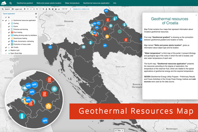
Mapping the Geothermal Resources of Croatia
Geothermal energy is getting traction as a renewable energy source and an alternative to solar and wind farms. To better understand the geothermal potential of…
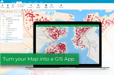
Turn Your Map Into a Cloud-based GIS App
In this article, we’ll show you the fastest and easiest way to create an online GIS app with the App Builder. We’ll also weigh in…
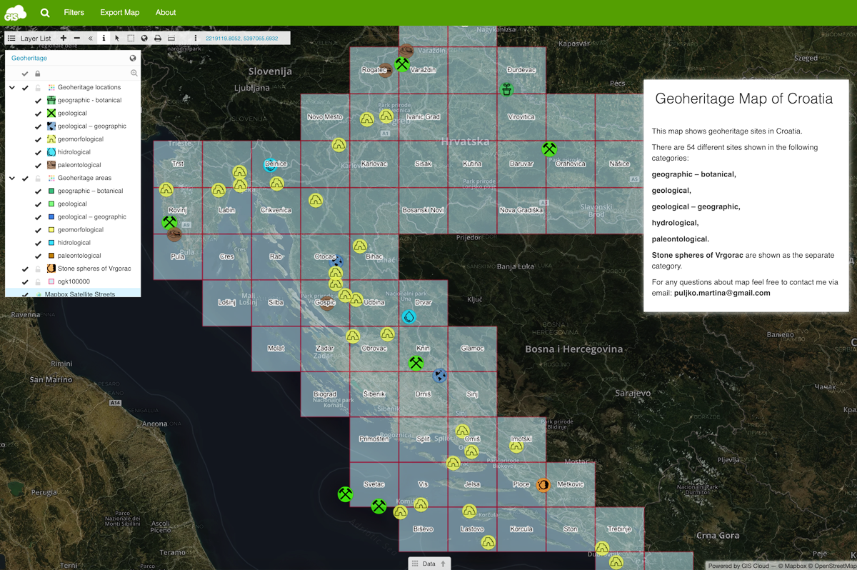
Raising Awareness About Geoheritage With a GIS Portal
To better understand how the planet Earth has formed and how life on it evolved, it is necessary to take a look at the evidence…
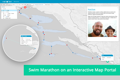
Supporting a Swim Marathon With an Interactive Map Portal
Our partners Smart Cloud are supporting a swim marathon by tracking activities via an interactive map portal. The marathon is taking place around the archipelago…
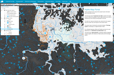
How to Create a Hydrological Map Portal
Hydrology databases make it possible to map, track and observe water resources. Monitoring and modelling the data is essential in creating a sustainable system for…

Smart City Apps for Utilities
Smart city apps are an effective solution for getting data and feedback from your customers (citizens), contractors, or local governments. But, most of the smart…

GIS for Electric Utilities
GIS software has been empowering the electric utility industry for decades. It provides a robust framework for asset and workforce management as well as tools…
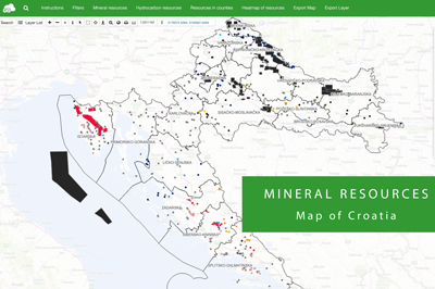
Mineral Resources Map of Croatia
Every country wants to make use of its mineral resources in the best way possible – economically, but also environmentally. It is necessary to monitor…
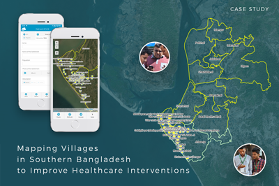
Mapping Villages in Southern Bangladesh to Improve Healthcare Interventions
The project is a part of a larger initiative that tries to tackle the spread of disease caused by extreme air, water, and soil pollution…
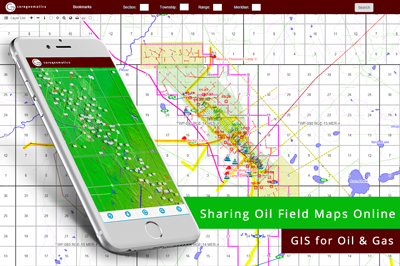
GIS for Oil & Gas industry: Sharing Oil Field Maps Online (Case Study)
We bring you a case study from the oil and gas industry that demonstrates the benefits of GIS for sharing mapping data with clients. Following…
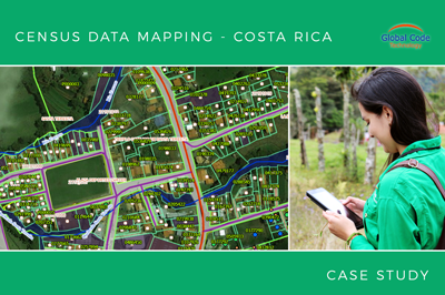
Collecting all property data in Zarcero Canton in less than 2 months (Case Study from Costa Rica)
The crew from Global Code Technology successfully finished the field data collection of infrastructure, land use and property in less than two months. It was…
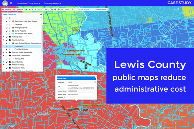
Cutting Administrative Costs With Online Maps for Lewis County (Case Study)
Lewis County is a small community located in the State of New York. Its county officials wanted to create an online mapping system so that…