
GIS Cloud Blog
Product releases, success stories, tutorials and webinars, from the field to the office.
354 articles
Power Your Workflow With Online GIS Apps: From Data Collection To Collaboration And Sharing, Integrated With Desktop Solutions – Webinar Recording!
On September 18th 2020 we held a live webinar in collaboration with Geospatial Awareness Hub on the topic of Powering Your Workflow With Online GIS…
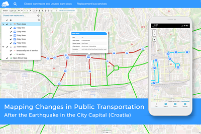
Mapping Public Transportation after the Earthquake in Zagreb (Croatia)
Martin Malović, Geography/GIS student at the University of Zagreb, Faculty of Science made an interactive Map Portal with the help of GIS Cloud apps,…
GIS Cloud Online In-Depth Certificate Program – Apply For New Series Of Learning Sessions!
We are continuing with the series of GIS Cloud Online Education Programs! By now, we’ve had numerous educational workshops with our clients and partners…
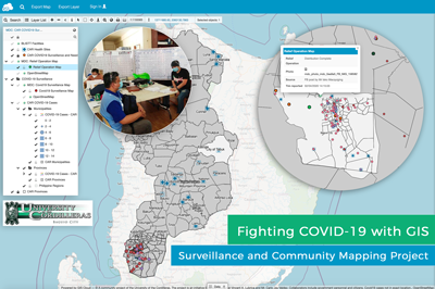
COVID 19 Surveillance and Community Mapping Project Using a Real-time Web GIS Platform in Philippines
COVID 19 is quickly spreading in the Philippines at an alarming rate. At this point, efforts to contain the virus depend on a contact tracing…
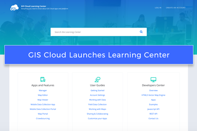
GIS Cloud Launches Learning Center!
With the immense effort of our Customer Success and Support team, we have created a new and improved Learning Center that offers everything…
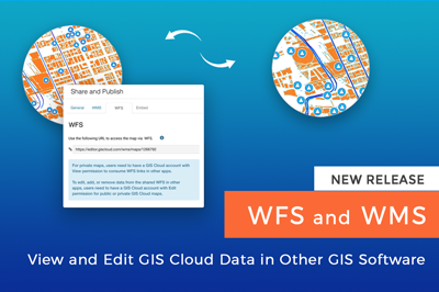
Use WFS and WMS to View and Edit GIS Cloud Data in Other Apps (New Release!)
We are excited to announce a new feature release which allows you to consume your GIS Cloud data via Web Feature Service (WFS) and Web…
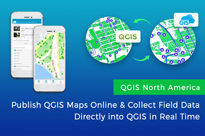
QGIS North America: Collect Field Data Directly into QGIS and Publish Maps Online
Last year GIS Cloud was happy to participate in the QGIS North America 2020 virtual conference on July 24th. We presented the GIS Cloud Publisher for QGIS, and its…
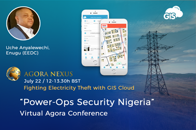
Virtual Conference “Power-Ops Security Nigeria” presenting a case on: “Fighting Electricity Theft with GIS Cloud”
A virtual conference “Power – Ops Security Nigeria” held by Agora Nexus in collaboration with GIS Cloud will be carried out on Wednesday 22nd July…
GIS Mapping and Benefits of Online Solutions
GIS is a software that helps users create interactive smart maps that visualize spatial information and help make better and wiser business decisions that are…
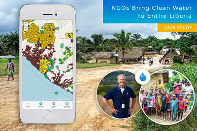
Mapping Entire Liberia To Bring Clean Water to Everyone – GIS for NGOs (Case Study)
Water is one of the Earth’s most valuable resources. Some of us take drinking water for granted, while millions of people across the globe can’t…
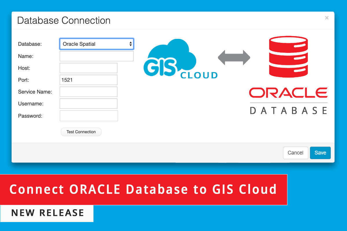
Connect External ORACLE Database – New GIS Cloud Release!
We are happy to announce that our developers have implemented a new feature regarding external connections in our Database Manager. In the GIS Cloud Map Editor…
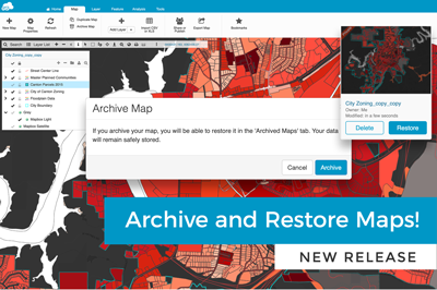
Archive and Restore Maps – New GIS Cloud Release!
We have great news regarding our Map Editor and Mobile Data Collection Portal web applications: From now on you can archive and restore your maps and…