
GIS Cloud Blog
Product releases, success stories, tutorials and webinars, from the field to the office.
354 articles
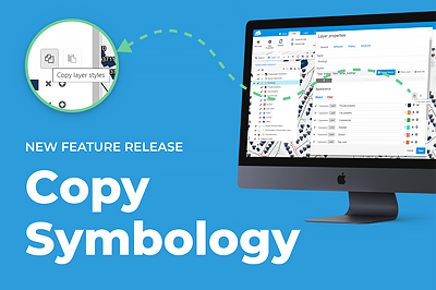
Copy Symbology – New Feature Release
When it comes to data visualization, we can all agree that it takes a while to classify the data just the way you want it. …
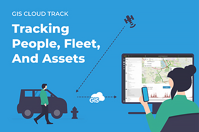
GIS Cloud Track: Key Benefits of Real-Time Tracking
Since the beginning, all GIS Cloud applications have been built and are still being improved by considering our users’ feedback. And it’s not any different…
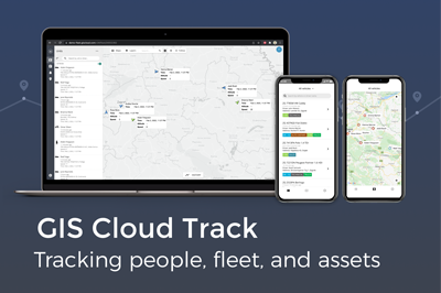
GIS Cloud Track – New Product Launch! Tracking fleet, people and assets
GIS Cloud Track – Get Early Access After many (many!) months of hard work, we are so excited to finally present our newest product: GIS…
Mini School: Map Data Visualization Guide
Unlike paper mapping, GIS provides a far richer and more flexible medium for portraying spatial data visualization. GIS allows us to interact with maps more…
Field Data Collection: Best Practices
Every field project is a bit different in a way. Even if you’re working in the same industry and on the same site for years,…
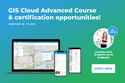
GIS Cloud Advanced Course and new certification opportunities!
A new year brings a new round of GIS Cloud Advanced Courses and a new certification opportunity! Our team of expert consultants and support specialists is…
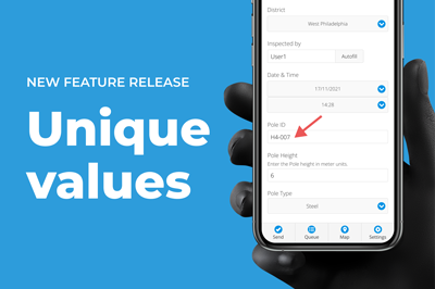
Unique Values in Data Collection Forms – New Feature Release
To further ensure the quality of the data you’re collecting in the field, we have added yet another feature to our Mobile Data Collection and…
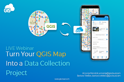
Webinar Recording – Turn your QGIS map into a data collection project
Last year we released a new QGIS Publisher which turned out to be a game-changer for a lot of our existing customers. But we didn’t…
Manage Your Geospatial Data Live with GIS Cloud and Desktop Integration
Spatial data integrity with WMS and WFS – setting up “Single Source of Truth” environments Talking to our customers, we found that there’s a…
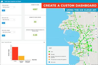
Create a custom dashboard using the GIS Cloud API
Author: Marko Polovina, Frontend Developer at GIS Cloud Spatial planning can be hard without a dashboard application where we can connect our map…
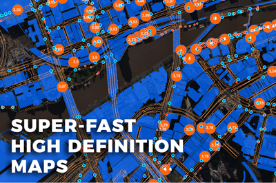
Map Engine: Super-fast High Definition Maps!
We are excited to announce a major update on our map engine technology! Maps are now rendered at high quality utilizing every pixel on…
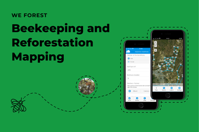
Beekeeping and Reforestation in Response to Climate Change – WeForest (Case Study)
In response to climate change, WeForest promotes forest landscape and ecosystem restoration in their projects. As a part of the Katanino Forest Restoration Project,…