
Spatial data integrity with WMS and WFS – setting up “Single Source of Truth” environments
Talking to our customers, we found that there’s a whole range of different users that benefit from having an online GIS system in place, but many of them still use a desktop GIS solution, such as QGIS for example, to supplement their workflows.
It’s a perfectly valid setup, as those tools provide some more robust analysis and processing features used in anything from planning, to imagery processing, to statistics, etc. but lack the ability to properly share the data with a colleague, a different department, a client, and have it be open to feedback if needed.
On the other hand, those that have been primarily using cloud setups wanted to take advantage of some of the more complex analysis features that are available on a desktop GIS solution, but still needed to have access to the live data coming in from the field in real time.
In both scenarios, the biggest challenge was how to keep the data intact and maintain its’ integrity in environments in which everyone needs access to the live data, on desktop and cloud, and need to work with the latest version of it in real time.
One simple solution that presented itself for both cases is to set up a Web Feature Service (WFS). WFS is a web service that provides access to features stored on a server and can be used for anything from simple queries to adding, deleting, or updating features, while also being supported on multiple platforms. By using WFS, your data can be stored in one location, but accessed and edited anywhere it’s needed.
You can set up your own WFS server like Geoserver, that’s always an option, but you’ll need time, resources, and the know-how, and all that can get pricey – fast. We realized that some of our users simply don’t have the dedicated time to implement it and we wanted to help out, so last year, we set it up for you – all you have to do is create your map in Map Editor.
The key benefits of using the GIS Cloud’s WFS feature to integrate your desktop and online workflow are:
- Single source of truth for your data, which means you’re not working on copies or outdated information
- Collaboration is simplified as your data can be accessible on different platforms
- Regardless of where you’re working, you’ll always have real-time information
- Access to data collection, editing, and other out of the box applications needed for online workflows
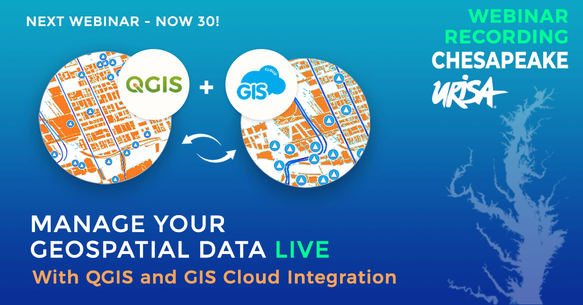
We can help you set this up in a matter of minutes but if you want to see this in action first, take a look at the webinar session we held for the URISA team a few weeks ago where we discussed how to integrate your desktop processes with the GIS Cloud platform, and why you should use both. We talked about our WFS server capabilities and how you can use it to streamline your workflow, but also touched on our QGIS Publisher.
(By the way, you can learn more about the Publisher and how to use it to start getting real time data into QGIS in our next webinar ‘Turn Your QGIS Map Into A Data Collection Project’ on November 30 – just sign up here!)
You don’t have to take our word for it – create your GIS Cloud account and try it out!