
GIS Cloud Blog
Product releases, success stories, tutorials and webinars, from the field to the office.
354 articles
Cool maps by GIS Cloud Users
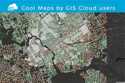
In GIS Cloud Map Editor, you can often stumble upon interesting public maps created by our users who utilize GIS Cloud apps for a wide variety…
GIS Cloud at FOSS4G 2017 and East Coast in August
In August, we will be in the US on the East Coast in New York and Boston. We will be sponsoring the FOSS4G 2017 conference in…
GIS Cloud as a Solution for Urban Tree Management
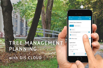
Urban tree management and maintenance can be very useful for increasing the quality of life in urban areas. For example, optimal tree density and distribution…
Supporting Small and Medium-Sized Mining in Chile Through Interactive Maps
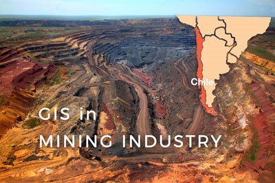
The mining industry in Chile produces more than one-third of government income by exporting Copper. Other important mining products include gold, silver, molybdenum, iron, and…
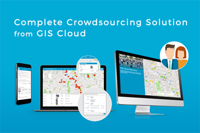
Engaging Citizens with the GIS Cloud Crowdsourcing App
Every organization needs to gather and manage data, especially location-based data which can be represented visually on a map. Crowdsourcing apps are used to collect data from…
Watch the Sharing Large Raster Data with GIS Cloud Webinar Recording
On Thursday, 1st of June, we held a webinar showcasing the benefits and a demo on the topic of sharing large raster data with clients, stakeholders…

GIS Cloud Crowdsourcing Solution Released
Dear GIS Cloud Community, We are happy to announce that GIS Cloud Crowdsourcing solution has been officially released. The Crowdsourcing solution will enable cities, local governments, and…
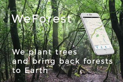
WeForest – Improving the Forest Restoration Process in Zambia with GIS Cloud
In the Copperbelt, Zambia’s most densely populated region, forests have been disappearing rapidly. The WeForest team, who strives to restore forests, has identified that making…

Attend GIS Cloud Workshop at GEO Business Show on May 24th
GIS Cloud team is currently at the GEO Business Show in London, the annual geospatial event that takes place at the Business Design Centre from May…
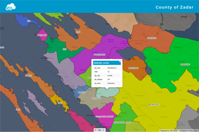
GIS Cloud Visualization in Planning of the New Administrative Boundaries for the Zadar County
This project was done by a geography student Branimir Bilandžić, who collected and visualized data with a goal to make a proposal on the topic how…

GIS Cloud Presentation at MundoGEO#Connect Latin America
Today, 12th of May 2017, GIS Cloud team will give a talk and show a demo at MundoGEO#Connect 2017 about “Building Intelligent Cities by Engaging…
Watch the Tree Maintenance Made Easy Webinar Recording
On Monday, 24th of April, we held a webinar “Tree Maintenance Made Easy” focused on presenting GIS Cloud solutions for Tree Management. Thanks to all of…