Ahead of Chicago Build 2025, we sat down with GIS Cloud CRO Andrew Loveless to discuss how real-time insight turns field data into actionable decisions, linking inspections, as-builts, IoT, and stakeholders on a single live map. If you’re weighing schedule, cost, and quality this quarter, his workshop “From Site to Skyline: Real-Time Insight for Real-World Construction”, is built for you.
Q1) The title of your workshop is “From Site to Skyline.” What’s the idea behind that?
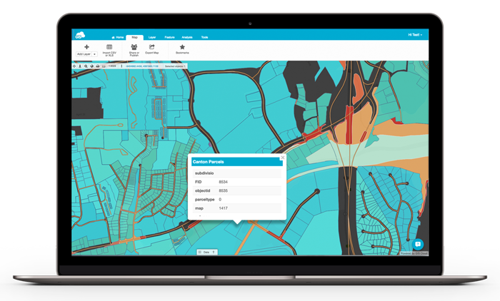
Andrew: It’s the full journey, from what a crew captures on site to the way that information shapes project decisions across the skyline. Real-time insight is the bridge. When forms, photos, locations, and tasks land on a single live map, decisions stop lagging a day behind the work.
Q2) Your synopsis talks about turning field data into “actionable insight.” What does that look like on a normal day?
Andrew: Actionable means someone can act now, approve, reassign, hold, or close. A field inspection with required photos and geovalidation hits the office in seconds; a PM sees the status on the map and moves the schedule forward. No hunting for attachments, no “who has the latest spreadsheet?” Many of our clients cite that having “Real-time visibility of site operations is a game changer”

Q3) You mention gains like up to 40% faster job completion and 50% higher operational efficiency. What typically drives those results?
Andrew: Small frictions compound, lost updates, duplicate entries, site revisits. We remove those. One live map for crews, PMs, and clients; no-code forms with rules that prevent bad data; and offline-first so work never stops. The compound effect is fewer calls, fewer returns to site, and faster closeouts.Boiling that down it means the right person with the right equipment to the right place at the right time.
Q4) “Open integration” appears throughout the synopsis, IoT, and digital twins. Why is that essential?offline
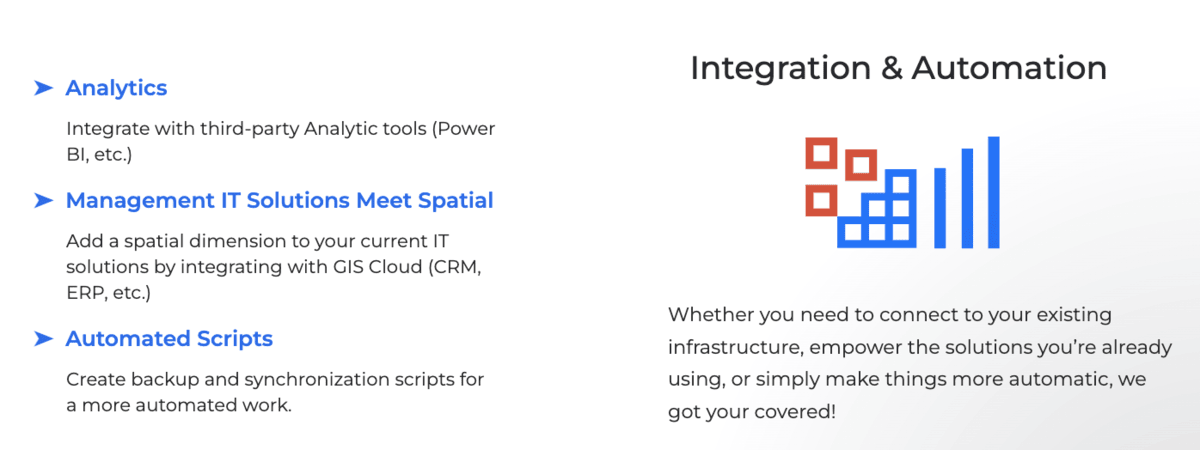
Andrew: Construction data already lives in Revit/IFC, SQL, Excel, sensors, and that’s fine. Our job is to connect it so people see the same truth. APIs and data interoperability mean you keep the tools you like and lose the swivel-chair. That’s how you scale without a big-bang overhaul. I hear time and time again that data fragmentation and lack of integration is among the top issues in the sector

Q5) Many teams worry about adoption and complexity. What does no-code change for them?
Andrew: The people who understand the work can configure the workflow, not wait on a GIS expert or project manager. Drag-and-drop forms, required evidence, pass/fail checks, simple automations. If a superintendent can sketch it on a whiteboard, they can build it in GIS Cloud and publish to phones and tablets immediately. Technology adopting in the construction sector is a challenge, solved by GIS Cloud clear and consistent apps, just like any phone app requires no training, just supports the job at hand.
Q6) The synopsis calls out sustainability, compliance, and stakeholder trust. How does real-time collaboration affect those?
Andrew: Evidence wins arguments. Time-stamped photos, location, and approvals create an audit trail. That reduces disputes, accelerates approvals, and supports sustainability targets because you optimize visits and avoid rework. Trust goes up when everyone can see what’s happening, live from a single version of the truth.
Q7) You emphasize predictable TCO, no usage-based pricing or hidden connector costs. Why does that matter at deployment time?
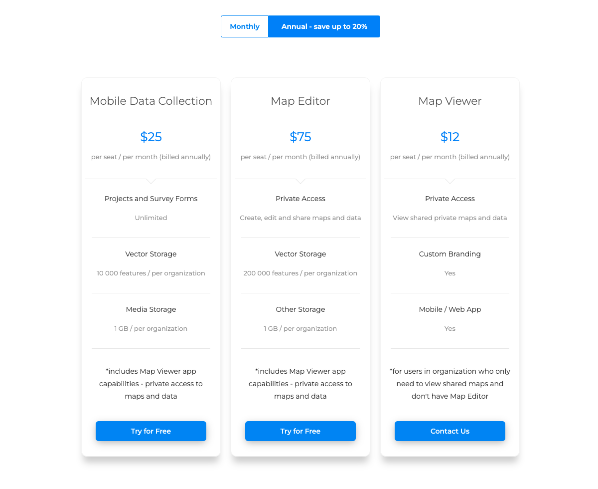
Andrew: Predictability drives usage. If teams worry about credits or metered APIs, they hesitate. With seat-based pricing and open integration, people use the system freely,adoption rises, and that’s where ROI comes from. It’s simple, but it changes behavior.

See it at Chicago Build
- Workshop: From Site to Skyline: Real-Time Insight for Real-World Construction
Oct 29, 4:00 PM, McCormick Place, SAVE THE DATE & REGISTER - Booth: #625, Real-Time Insight for Real-World Construction
Ask us about: inspections & as-builts, IoT feeds, offline-first, roles/permissions, and how to start small, scale fast.
Live, in 5 minutes: field form → photo → instant map → stakeholder view.

About GIS Cloud
A world-class no-code, mobile-first geospatial platform delivering rapid time-to-value and powerful field↔office connectivity, without usage-based pricing or hidden connector costs. Trusted by 300+ organizations in 60+ countries across civil engineering, utilities, local authorities, government, and environmental services.


