
GIS Cloud Blog
Product releases, success stories, tutorials and webinars, from the field to the office.
354 articles

Supporting raster data in .ECW, .IMG, .SID, .JP2 formats
Rasters are getting to be equally important as vectors. So naturally we strive to support as many raster formats and constantly work on getting that list…
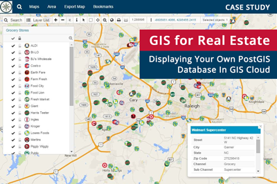
GIS For Real Estate – Display Your PostGIS Database In GIS Cloud
Over the years, GIS rapidly changed the Real Estate Industry with advanced and accurate information of assets. Real estate companies are aware that successful…
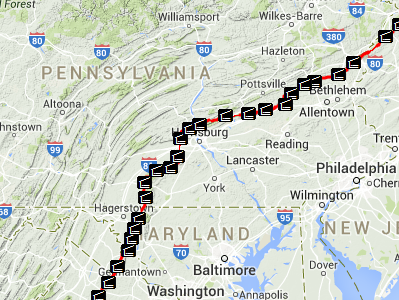
Geomobiliti Inc. Interview – Using GIS Cloud in Railroad Industry
We did an interview about Railroad GIS with Tomy Brown, owner of Geomobiliti Inc. and a Railroad GIS expert. What are the trends in the Railroad…
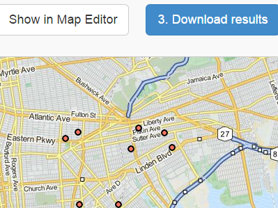
GIS Cloud Geocoder: Your Guide to Easy and Accurate Mapping
Geocoding should be straightforward, and it is with our GIS Cloud Geocoder. Accompanied by an easy-to-follow video tutorial, it’s the perfect tool for anyone looking…
Video Blog: Adding WMTS To Your Maps and Projects
A Web Map Tile Service (WMTS) is a standard protocol for serving pre-rendered georeferenced map tiles over the internet or in other words WMTS provides a…
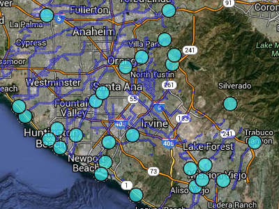
Orange County Interview – Fighting Droughts and Watershed Monitoring
With the recent severe drought happening in California, we wanted to do an interview with one of our users from the area, Grant Sharp, Environmental Monitoring…
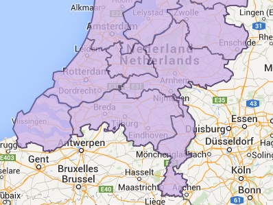
Video Blog: Adding WFS To Your Maps and Projects
What is WFS? The Open Geospatial Consortium Web Feature Service Interface Standard (WFS) provides an interface allowing requests for geographical features (points, lines, and polygons) across…
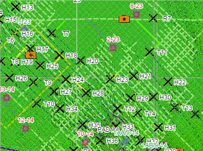
Oil and Gas Case Study: Providing Client Mapping Data Online
With the upcoming webinar, where we will show you some of the GIS Cloud user success stories, we wanted to present you a Consulting success story…
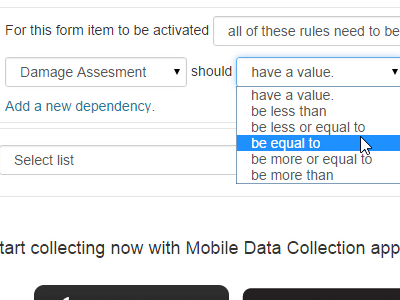
Video Blog: Introducing MDC Dependent Fields
The new Mobile Data Collection version introduces Dependent Fields, available for android and iOS devices. Once you are in MDC Portal, you can set up your…

Why Go GIS Cloud? Alternative for GME or Simply a Better Solution?
Instead of saying what GIS Cloud can do for you as an alternative or how it can replace ‘certain players’, ones that shall not be…
Public and Private Access?
Public or private maps? Which way to go? Why not both? If you have a need to have either public or private maps we’ve got you…
Lewis County Case Study: Small Community Cloud Solution
With the ongoing discussion on the topic of cloud computing phenomena and what it means for the GIS industry, we wanted to give an overview of…