You do not need another platform. You need one live map that everyone trusts. When field updates appear instantly for the office, and office decisions reach crews in minutes, projects move faster, site visits drop, and reviews stay on schedule.
The pains AEC teams face today
Most AEC teams still juggle point tools. Field data lives in a mobile app. As-builts sit in folders. BIM and sensors live elsewhere. The result is slow reviews, duplicate surveys, and rework. Leaders also face budget risk: usage-based pricing, add-on connectors, and long deployments that stall momentum.
Why now: real-time GIS goes mainstream
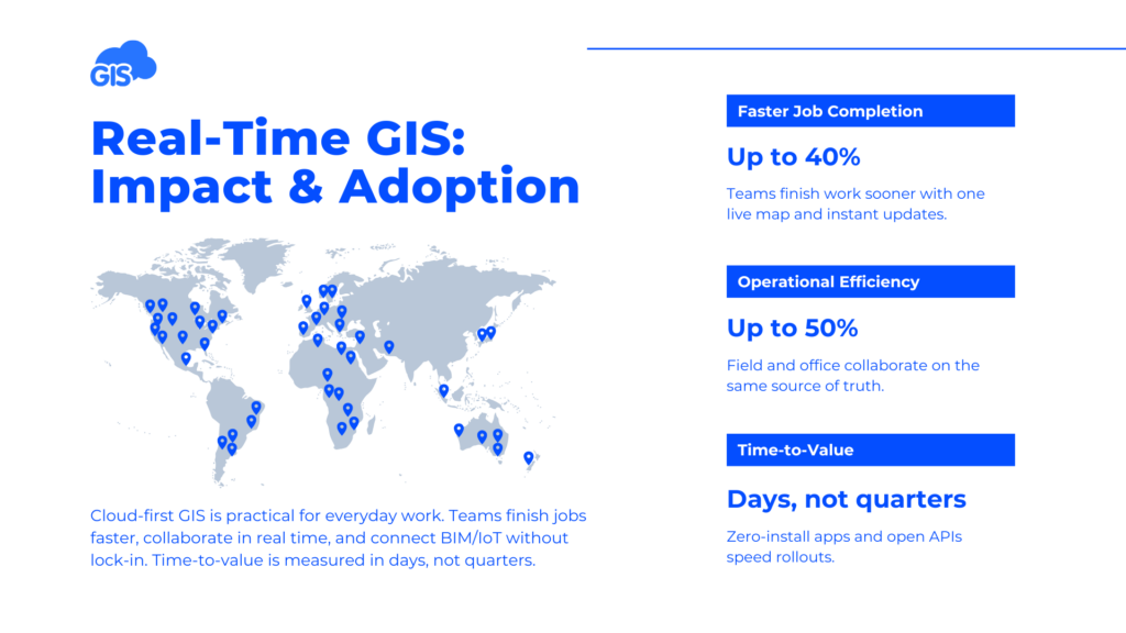
Cloud-first GIS has matured. With real-time collaboration, teams report up to 40% faster job completion and 50% higher operational efficiency when everyone works from a single live map. True offline capture keeps work moving in basements, tunnels, and rural zones. Open APIs connect BIM, IoT, and digital twins without lock-in. Time-to-value is measured in days, not quarters.

How GIS Cloud solves it
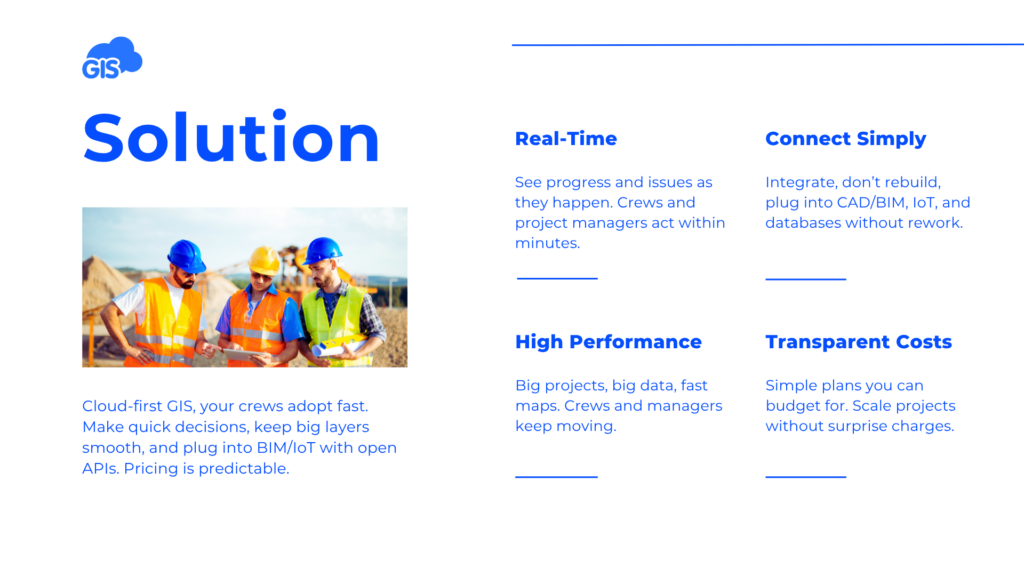
Zero-install, cloud-first. Start in a browser and on mobile. No desktop installs.
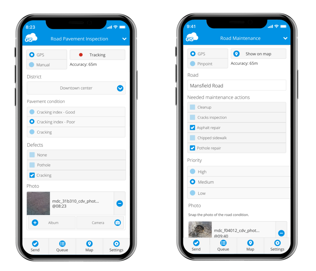
True offline, instant sync. Capture once, sync when online, see it everywhere.
Fast visualization on large datasets. Render big layers and frequent updates without delays.
Open by design. Use APIs to connect BIM, sensors, and enterprise data you already own.
Predictable pricing. Avoid surprises from usage or connector fees; plan with confidence.
Start small, scale fast. Pilot a site or corridor, then expand across programs.
Mini scenes from the field
1) Utilities, exercise logs that actually drive decisions.
A water utility moves valve exercise logs from paper to a simple mobile form. Crews record position, torque, turns, and pass/fail in offline mode. Data syncs to a live map that supervisors open during morning stand-ups. Failed assets trigger follow-up tasks in minutes, not weeks.
2) Contractors, as-builts without repeat visits.
A GC captures trenches, duct banks, and changes as they happen. Photos and geometry sync from phones to the site map in real time. Reviewers mark items resolved without another site trip. The team reports fewer revisits and faster close-outs because decisions happen on the same day.
3) Local roads, one map for permits and works.
A city team coordinates resurfacing, signage, and utility openings on a shared map. Inspectors update status in the field; office staff see conflicts early. The result is smoother traffic management and fewer resident complaints.

Common objections, answered
“We can’t rip and replace.” You do not have to. GIS Cloud fits existing workflows and sits beside your current systems via open APIs. Start with one use case, inspections, redlines, or permits, then expand.
“Our data is large and changes often.” That is where we excel. The platform renders large datasets quickly and handles frequent updates from crews and sensors.
“Offline will break our flow.” Offline capture on iOS and Android is proven across thousands of projects. Crews sync when back online; the office sees updates within minutes.
“Budget is uncertain.” Pricing is transparent and predictable. There are no surprise usage or connector fees, so you can forecast with confidence.

Next steps
Want to preview our approach? Read:
- Real-Time Maps for Construction & Utilities
- From Site to Skyline: A Conversation with Andrew Loveless on Real-Time Insight
Come ready to compare. We will show you how one live map can deliver speed, control, simplicity, and cost predictability, now, not next quarter.


