
GIS Cloud Blog
Product releases, success stories, tutorials and webinars, from the field to the office.
353 articles
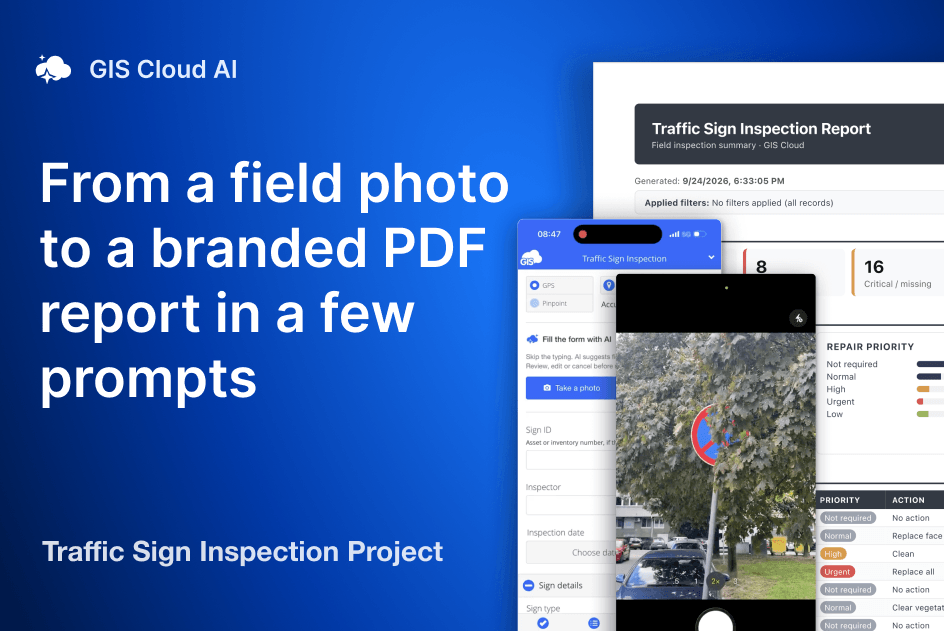
From Traffic Sign Inspection to a Dashboard and Branded PDF Report in a Few Prompts
One workflow, end to end: we set up a traffic sign inspection with AI, collected signs in the field from a photo, and built a dashboard that exports a branded PDF report.
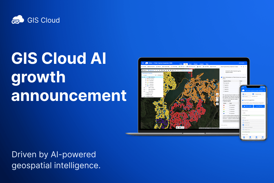
GIS Cloud user growth doubles as AI-powered geospatial intelligence outpaces specialist capacity
More than 100 new users join the platform every day, driven by demand for AI-powered geospatial intelligence Asterra, Pipe View America and InfraTrace among organisations to…

Meet GIS Cloud at INTERGEO 2026: live AI demos in Munich
INTERGEO 2026, the world’s leading platform for geodesy, geoinformation and land management, kicks off next week in Munich (September 15-17), and GIS Cloud will be there…
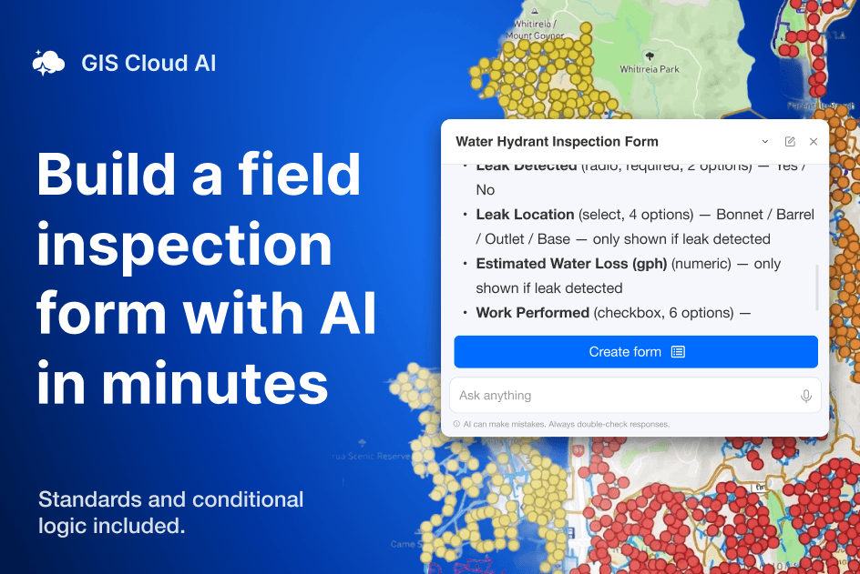
Build a field inspection form with AI in minutes (standards and logic included)
Getting a data collection project running in GIS Cloud has always been quick. Map + layer + form = crews collecting. That part was never the…
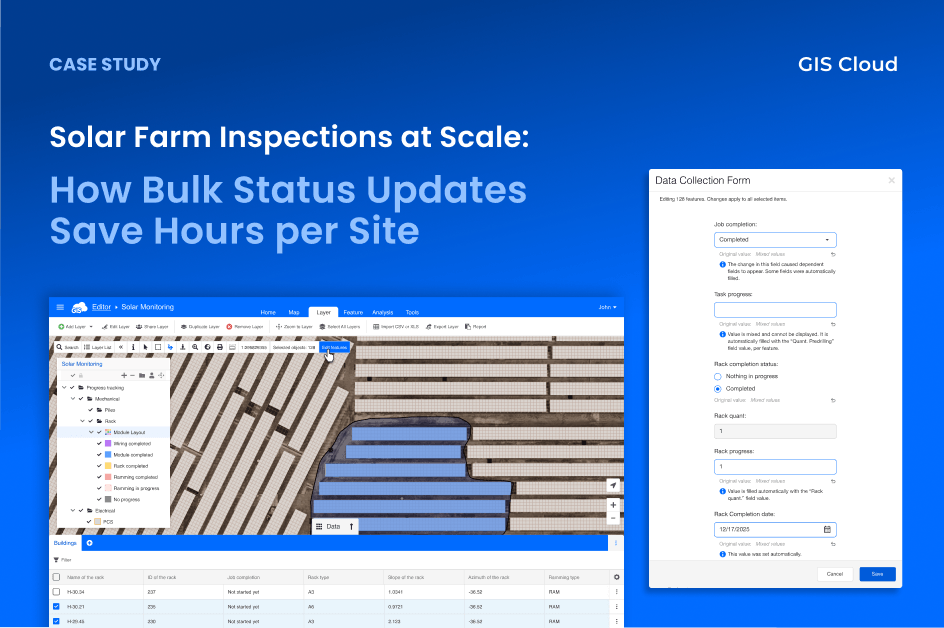
Solar Farm Inspections at Scale: How Bulk Status Updates Save Hours per Site
After every construction phase, inspectors needed to mark dozens of solar panel racks as “Completed”, one feature at a time. Each update triggered automations that calculated…
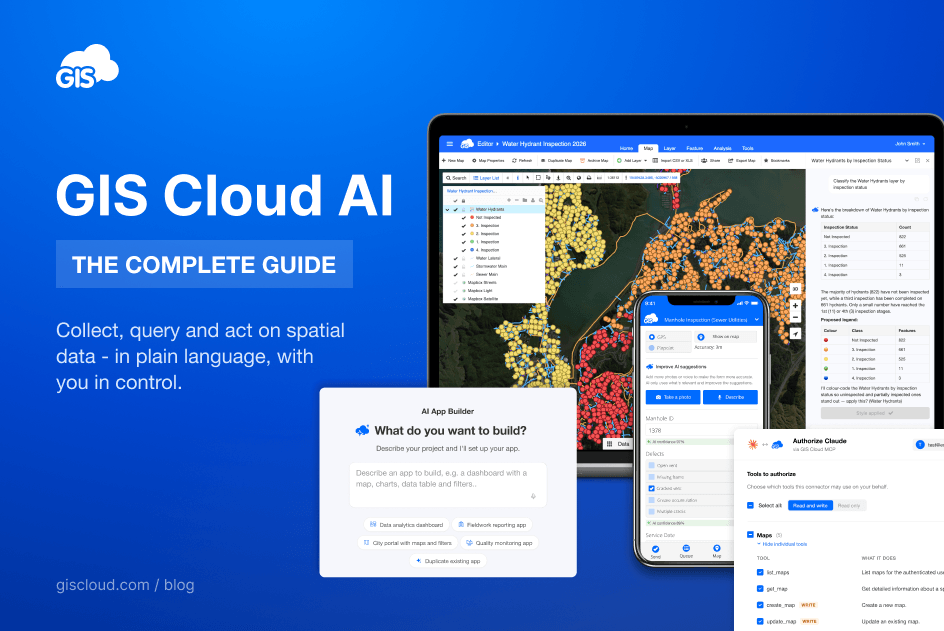
GIS Cloud AI: The Complete Guide
What is GIS Cloud AI? GIS Cloud AI is a set of artificial-intelligence capabilities built into the GIS Cloud platform that let you collect, query, and…
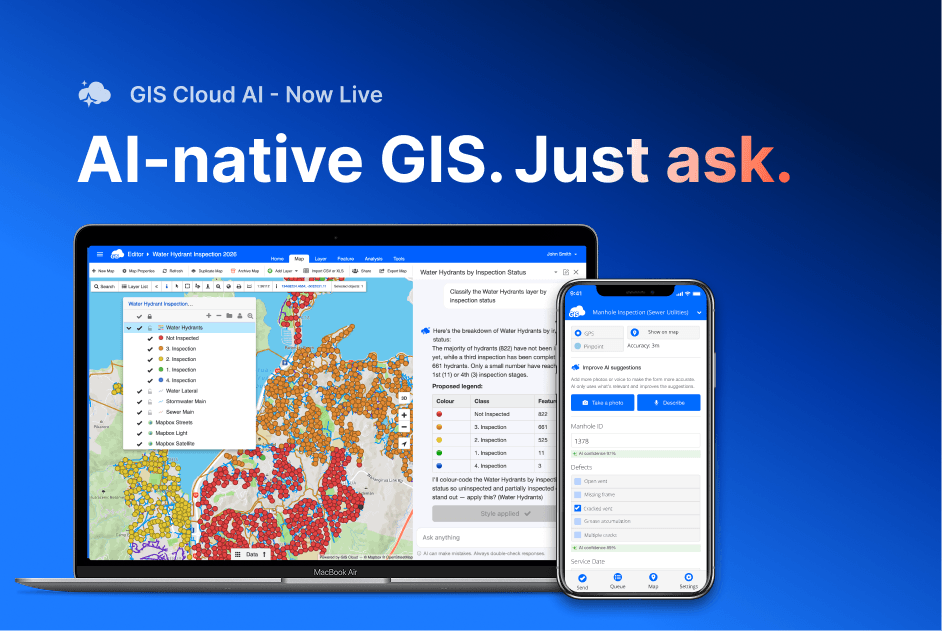
GIS Cloud AI is live: ask your data, fill forms from a photo, build apps from a sentence
For years, AI in geospatial mostly meant computer vision: object detection, land-use classification, pulling insight out of satellite imagery. Useful, but narrow, and almost always the…
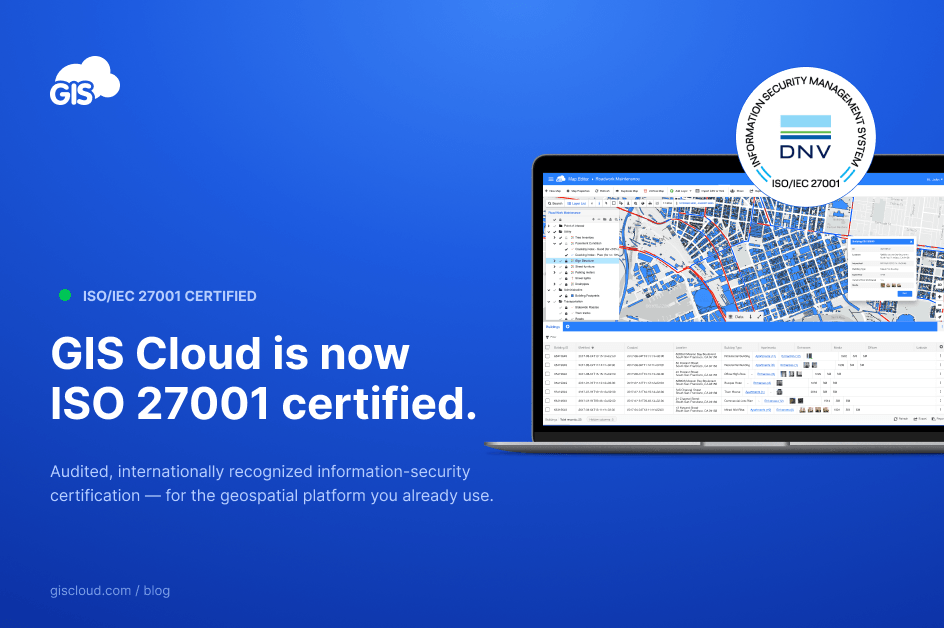
GIS Cloud Earns ISO 27001 — Stronger Security for Your GIS Data
GIS Cloud has been awarded ISO/IEC 27001 certification — the most widely recognized international standard for information security management. For our customers, this is a…
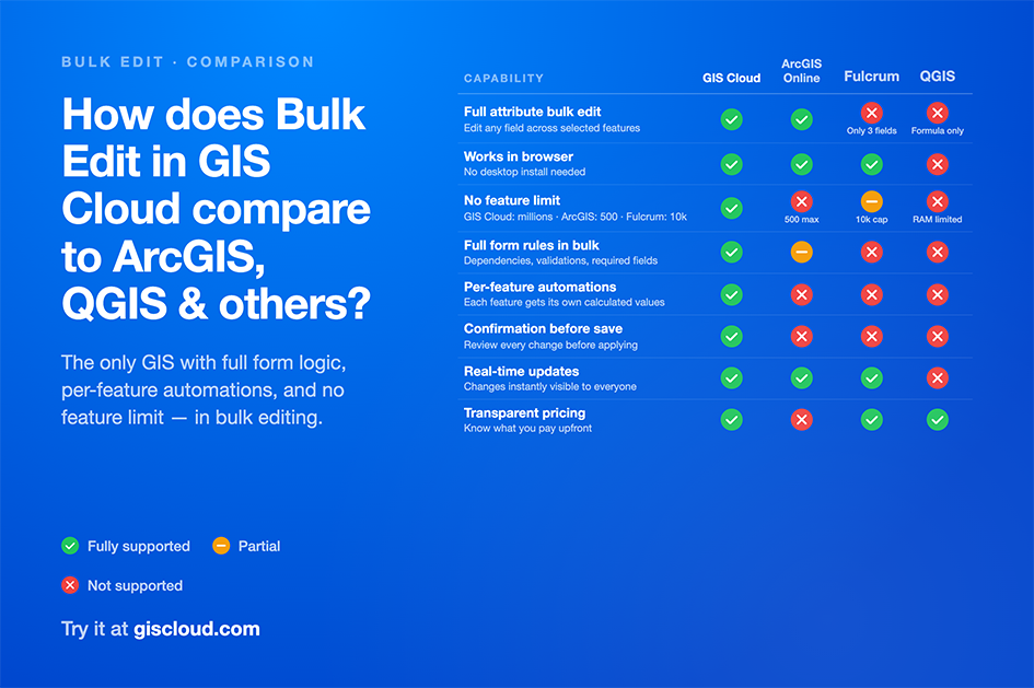
Bulk Editing Feature Attributes: GIS Cloud vs ArcGIS Online, Fulcrum, and QGIS
If you manage spatial data at any scale, you’ve needed to update multiple features at once. Change a status field across 200 inspected assets. Set…
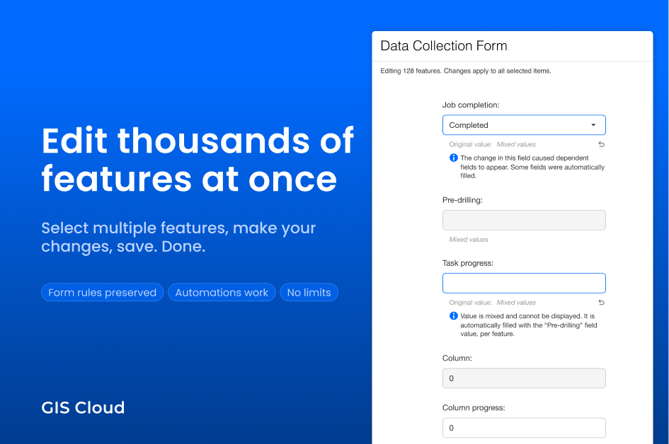
Edit Thousands of Features at Once – Bulk Edit Is Here!
Every GIS Cloud user has been there. You’ve spent the day in the field inspecting assets, collecting data, and verifying conditions. Now you’re back at…
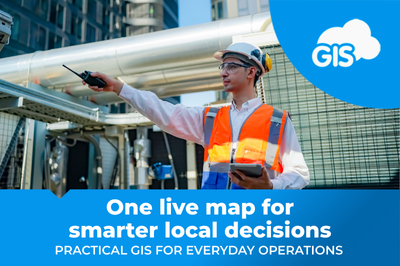
GIS Cloud for Local Authorities: Smarter Public Services
A practical guide for Local Authorities, agencies, and partners who need better visibility of their assets and programmes. Why the status quo is under pressure…

Field-to-Report on One Live Map
Many projects still run on PDFs, spreadsheets, emails, and chat photos. Maps arrive as exports, not as a living source of truth. This slows approvals…

Field to Office: Real-Time GIS for AEC Projects
You do not need another platform. You need one live map that everyone trusts. When field updates appear instantly for the office, and office decisions…