

One shared map for road works
Capture defects in the field and coordinate resurfacing, signage and utility openings on one shared map for fewer conflicts, smoother traffic and fewer complaints.
The challenge
Disconnected works, defects and permits
Resurfacing, signage and utility openings are coordinated across spreadsheets and emails, so conflicts surface late and residents complain. Road defects are inspected on paper and rarely tied to the segment.
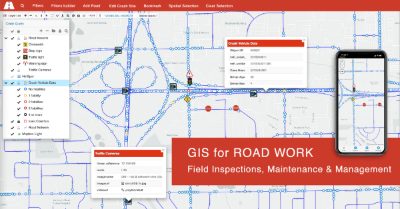
A shared, live map lets inspectors update status in the field while office staff see conflicts early.
How GIS Cloud helps
Coordinate works, inspect defects, keep traffic moving
Inspect defects on route
Record potholes, edge failure and rutting with severity and photos, tied to the right road segment.
Package works by evidence
Cluster severe defects into works packages and plan resurfacing with data, not instinct.
Coordinate on one map
Resurfacing, signage and utility openings on a shared map so conflicts show early.
From pothole to planned resurfacing
- 1Inspect: crews record defects with severity and photos along their routes, offline if needed.
- 2Cluster: the office filters severe defects on strategic routes and groups them into packages.
- 3Coordinate: works and permits share one map, so traffic management is smoother.
Powered by GIS Cloud AI
Ask for the worst roads
“Show severe defects on bus routes in this ward.” GIS Cloud AI filters your inspection layer and maps the clusters. You review and confirm before any change is saved.
Explore GIS Cloud AI
Coordinate your
road works on one map
Pilot defect inspections on one corridor and see the conflicts disappear. No credit card, no setup.