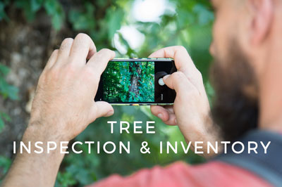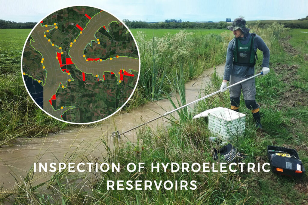
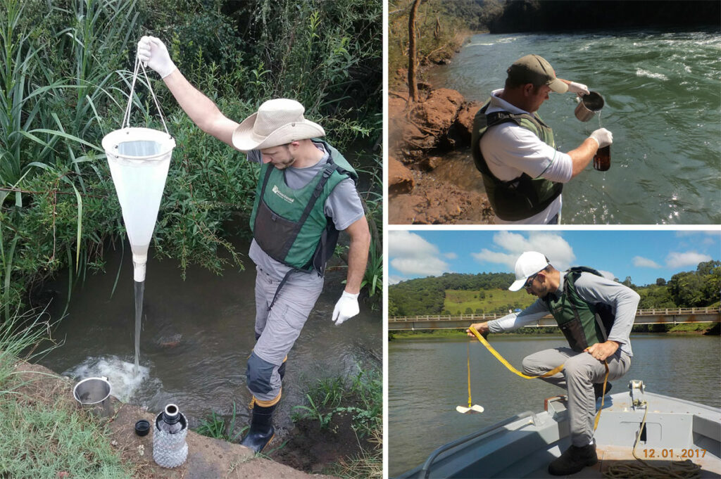
This use case features Socioambiental Consultores Associados, a company located in Florianópolis, Brazil. They use GIS Cloud for inspecting and overseeing the Permanent Protection Areas of the Hydroelectric Power Plants reservoirs located on the Uruguay River.
The reservoir inspection project
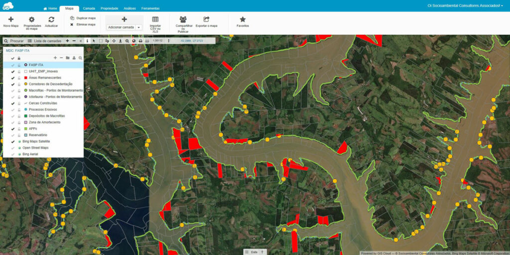
The Socioambiental Consultores Associados provide solutions for planning, utilizing and protecting natural resources and the environment. One of the major projects they are currently working on is the Socioambiental and Patrimonial Inspection (FASP) of the Itá and Machadinho Hydroelectric Plants, located on the Uruguay River.
The field team is responsible for inspecting and overseeing the state of reservoirs of the Hydroelectric Power Plants (Permanent Protection Areas). The main task is to find the irregularities like undue occupation, or possible environmental damages. Learn more about the challenges they face in the field and their daily workflow.
Challenges in the field data collection process
The main challenge was to find a way to make the collection of data in the field faster and more efficient. Another thing the project team needed was to find a better way to communicate results between themselves and others involved in a project in real-time.
This also meant sharing and visualizing data on the permanent protection areas easily using any mobile device. Even to users without experience in using mobile and web based solutions.
Additionally, they were searching for a way to reduce errors in the collected data. The errors occurred because the data was written down on a piece of paper.
From paper forms to mobile data collection
Previously, they were using paper forms to collect data manually in the field. This often caused mistakes when writing field records, which were sometimes impossible to track. In some cases, there were gaps in a particular record, and in other cases it was difficult to transcribe what was noted.
Also, using paper forms meant that they needed to process data manually in the office after the data collection, which took additional time and made the workflow less efficient.
To solve this problem they needed a GIS solution that works in the cloud.
A complete solution for field data collection and visualisation
The socioambiental team used the Mobile Data Collection app to collect data with custom forms that could be used on tablets and mobile phones and published on a map in real-time. The fact that some of the fields in a form were mandatory to successfully collect data helped to reduce the loss of information and reduce errors.
The collected data on reservoirs, possible environmental damages and irregularities were immediately visible in the GIS Cloud Map Editor, where the results are visualized, analyzed and edited if necessary. Map Editor also enabled sharing data to users with different permissions such as viewing, editing, collecting or reporting, depending on their role in the team or a project.
In just a few clicks, the map was easily shared with other people working on a project, who were able to access it at any time using any device. This was especially useful when they needed to share data with their contractor in order to show the work that was already done.
Also, having data easily accessible in any moment on smartphones and tablets meant that their field technicians were always able to know which are the places to be surveyed or to consult the project database and search for information about the owners or past irregularities of each area surveyed.
To sum it up, the Socioambiental team recommended using GIS Cloud for these 3 key features:
1. Faster, more efficient and better organization of the data collection process
2. Ability to follow up and share geospatial information with clients in real time
3. Systematization of the existing data collection process that helped to drastically reduce errors in the data digitization process.
Interested in trying out GIS Cloud solution for creating a more efficient workflow? Sign up here.