Then…
Not so long time ago, we were still manually drawing maps, populating survey forms in the field with a pen and inputting collected data manually in Excel as a part of an extensive paper based workflow. And what about if ‘heavens forbid’ we had to review the data…off we go back to the field with more paper forms. Then back to the office to cross-reference the data then and now, but only after we inputted the new data in excel. Hmmm… and then we printed out a map with administrative areas and did some massive coloring.
Desktop
Then came the Desktop GIS and man did ‘coloring’ get better. Now we had an option to spatially have all the data on a map on a computer that had the data associated to each location we collected with a GPS device. We could join Excel tables and review data all in one place, overlaying multiple layers on top of each other and geospatial analysis suddenly got faster and better. It’s just… we became inpatient to wait for the team to bring back the data from the field with their GPS units. Especially considering we had all these meetings we had to attend across the country. Common now, we want it faster if not instantly… like in real time please!
…and now
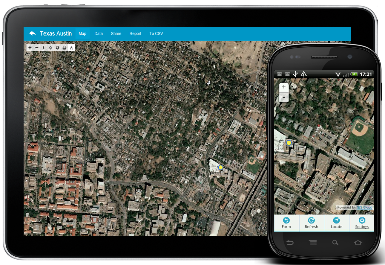
So now we sit in our very minimalistically decorated office as we don’t have tables covered in papers nor big desktop computers that require massive storage units. Even better, now we can be in Orange County on a meeting while our crew collects data in Florida and sends it to you. You receive it instantly, data is updated in real time and you can automatically show the progress to your colleagues. Quickly filter the data based on an attribute (same city let’s say) click on locations and get info associated to it like photos, lat, long, GPS accuracy, notes from the field… the list continues. Done in your browser… in the Cloud.
Future
As GIS practitioners we can say the progress has been fast and mind blowing so far. Making GIS more integrated in various industries and simplifying workflows than ever before. So what has changed so much? At GIS Cloud, we believe that GIS is a concept that you customize to you and your needs rather than customizing and adapting yourself to the GIS standards. Future is in:
-
Integration Real Time Mobility High Accuracy Fast Performance Non GIS Expert user friendly solutions
Simplify your workflow today!