Maria Laura Scaduto and Andrea de Tommasi told us about how they set up the Proditerr@ project, dedicated to creating a cooperative web platform for promoting the typical local food products of the Belìce river Valley in the Western part of the Sicily.
The “Proditerr@ Project – Products, Identity and Territory” started in September 2016, with an aim to implement a web GIS-based platform to describe, illustrate and promote the typical agri-food products of the Belìce river Valley, presenting it to a wider public across Sicily, Europe, and the World. The valley stretches across a beautiful territorial context localized between the three Provinces of Palermo, Trapani, and Agrigento, in the Western part of the Sicily.
The project is lead by the Me.R.I.D.I.E.S. Association and funded by the Regional Administration of Sicily. It is a result of the cooperation of the Hospitality Training Institute „Virgilio Titone“ at Castelvetrano, Trapani, and the ‘Museums and Natural Areas’ Network, a cultural Association linking together many museums, protected areas and cultural sites of the Trapani Province. The Proditerr@ project is expanding to include more stakeholders such as public and private organizations as well as the local food producers and farms.
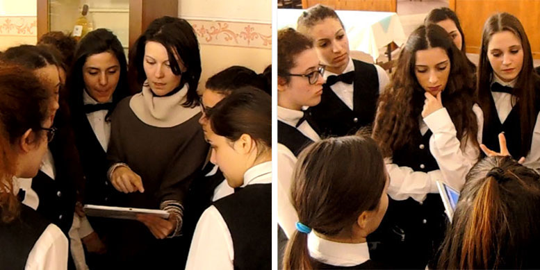
The architect Maria Laura Scaduto, who is the president of the Association Me.R.I.D.I.E.S. and also acts as a project manager for the Proditerr@ project, together with the GIS expert Andrea de Tommasi, responsible for the web platform realization, gave us an insight into the project and its main challenges.
CHALLENGES
At this stage, the most significant challenge in the particular scenario of the Proditerr@ Project was to find a scalable and a cost-efficient solution that would cover different challenges. The scalability in terms of data hosting was very important in the perspective of a next desirable evolution of the project scope, its information richness and wideness of public and private contributors. Maria Laura Scaduto and Andrea de Tommasi wanted to find a web-based mapping system that would be easy to customize and use for creating layers with the information on agri-food products, farms, producers and cultural areas. The mapping projects needed to be easy to set up and user-friendly to students and experts from different fields.
Except for scalability of the system and the ease of use, it was important to enable data sharing and publishing in a short amount of time. Having different multimedia options such as adding links, descriptions, and photos to a map was another important prerequisite.
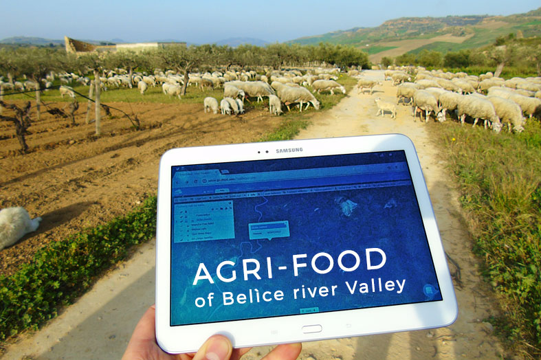
As the project also involves fieldwork done by students and teachers, having an option to easily collect data using mobile and tablet devices in the field would ensure that the location data would be thoroughly mapped.
Proditerr@ student workgroup for collecting data in the field
Another important option was to be able to integrate other software solutions with the web-based mapping system, especially in the later stages of the project.
SOLUTION
In order to conveniently collect, organize and disseminate digital data and information, and also multimedia resources for the benefit of all different users of the Proditerr@ Project, the Me.R.I.D.I.E.S. Association has decided to design and implement a first prototype of a dedicated web platform. They have integrated the usual static contents of a basic CMS with web mapping modules for publishing web maps based on the GIS Cloud Map Editor.
Maria Laura Scaduto and Andrea de Tommasi state that solution has been selected due to its versatility for producing personalized interactive maps also for non-expert editors employed in the project. Moreover, they said that
Within the specific scenario of the Proditerr@ Project, with respect to the available financial budget, a cloud-based GIS solution such as GIS Cloud has offered a ready-to-use hardware & software architecture, and a very suitable technical tool set and, at the same time, a very easy-to-use operative GIS system, that furthermore can be very quickly shown and easily shared with students and teachers participating in the project activities.
Also, students used GIS Cloud Mobile Data Collection app for collecting new data about agri-food products, production areas, farms and producers, cultural sites and protected areas.
GIS Cloud enables the Proditerr@ technical staff to integrate public base maps based on WMS services with local GIS resources and newly collected data directly written and archived on the dedicated partition of the online GIS Cloud repository. The first results of these mapping activities are visible in the integrated preview offered on different web pages of the Proditerr@ platform.
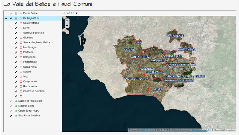
Within the Proditerr@ Project, the team uses the GIS Cloud Map Editor on a daily basis to build various responsive, personalized maps dedicated to the representation of agri-food production areas, localization and metadata publication of producers and farms. The maps also enable localization and metadata publication of cultural sites, museums, protected areas, new ones being added each week.
Plans for the Future
The Proditerr@’s team aim for the future is to expand the scope of the Proditerr@ web platform and its complexity in terms of GIS modules, digital contents and Open Datasets being freely accessible and usable by many different users and for various purposes. The next step in this process is to integrate an e-commerce module with the GIS Cloud system to improve the suitability of the platform for the benefit of agri-food producers and farms, and to create a smart marketplace for typical products of the Belìce river Valley.
Interested in trying out Map Editor to create your custom mapping projects? Sign up here.