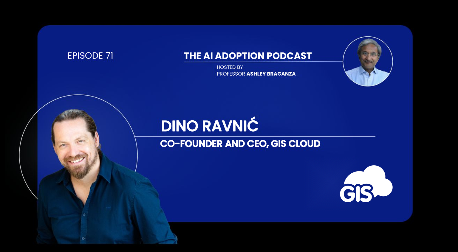
Our co-founder and CEO, Dino Ravnić, joined Professor Ashley Braganza on the AI Adoption Podcast to talk about where GIS and AI meet. The conversation covers why location data matters to every organization that runs physical infrastructure, how AI removes the last barriers to using GIS, and why governance and control matter more now than ever.
Watch podcast episode:
Here are the main ideas from the episode.
Location is context
Most people already think in maps. We use Google Maps to find a restaurant, an address or the best route, and nobody goes back to spreadsheets for that. Organizations that run physical infrastructure depend on location the same way, only their maps show pipes, hydrants and electricity networks.
For them, GIS is the central record of their assets and how those assets change every day. It is where they decide which repairs come first, what to build next and which areas to reach first after a flood.
Dino gave an example from a solar plant built with GIS Cloud. Every panel is a small polygon on the map, so managers watch the plant take shape in real time, from frames to panels to wiring.
AI is the final step in democratizing GIS
GIS came from science, and for decades it needed a specialist to run it and read its maps. The cloud was the first step in opening it up: anyone could reach the data from any device, and field crews could contribute through a mobile app. In Dino’s words, AI is the final step, the one that tears down the remaining barriers.
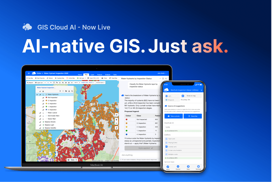
Instead of writing queries, a manager can simply ask: which hydrants should we repair first? AI can pull in nearby schools, hospitals and population density, query the data through a deterministic system like GIS Cloud, and return a prioritized answer in the chat.
This matters for specialists too. GIS teams are often a bottleneck, because they can’t answer every request across the organization. With AI under their control, everyone gets answers faster, and specialists get back to the work only they can do.
“I see AI as part of a workflow, a virtual colleague that can help you with some of the work, especially tedious processes like triage.”
You can’t just throw all your data at AI
GIS datasets often run to hundreds of thousands of records. Pasting all of that into an AI model is slow, expensive in tokens and often not something you’d trust it with. AI also hallucinates when it works without structure.
Dino’s answer is a layer in between: a GIS that queries the data efficiently and hands AI only what it needs to answer the question. AI asks, the GIS executes the query, and the person gets a result they can check. The same layer connects AI to sensor and IoT data, as well as to the work people do in the field.
Photo inspections are a good example. A field worker photographs a hydrant and records its condition. AI compares the photo with what was reported, flags any mismatch and puts it on top for a person to review and sign off.
Governance, sovereignty and control
Infrastructure data is sensitive. In the wrong hands, a map of water mains or the power grid shows exactly where a city is vulnerable. That makes the questions of where data is stored and who the vendor is more important than they were a few years ago, especially for public bodies.
GIS managers already needed audit trails and permissions. With AI able to read and change data, Dino argues those controls become a precondition for using AI in production at all:
“If you don’t have full control, transparency and visibility, you basically don’t have a system that’s production-ready to be used with AI.”
In GIS Cloud, sharing a map and letting someone use it with AI are separate permissions. The data owner explicitly decides whether a person’s AI can only read the data or also edit it. Paired with zero data retention policies from AI providers, organizations keep control over what AI sees and what it keeps.
Control also has to cover the routes nobody planned. Dino points to shadow AI: staff can export a dataset and drop it into ChatGPT or Claude without anyone knowing, so permissions that only govern the official route leave a side door open. For the most sensitive layers, he suggests the same habits mapping already uses for military sites: open data gradually, keep some layers off limits to AI, and anonymise what has to stay private.
On sovereignty, GIS Cloud is model-agnostic. Customers can work with the leading US models, European ones such as Mistral, or models they run themselves, depending on what their data and regulators require.
What it means for citizens
Local governments already publish a lot of open data: schools, kindergartens, hospitals, hydrants, outages. Most of it sits in map portals that are hard to use if you aren’t a GIS professional, so it goes largely unused, including by the public who own it.
Dino expects the biggest value of AI and GIS together to land here. Someone moving house could ask ChatGPT or Claude where the closest school is for their ten-year-old, and AI would answer from the city’s own GIS data: five schools nearby, the closest one a kilometer away, with after-school care. No technical knowledge needed, just a natural question.
Listen to the full episode
The episode goes deeper into the tension between opening GIS to everyone and keeping critical data under tight control. Watch above (or on YouTube) or listen on Apple Podcasts or Spotify, and thanks to Professor Ashley Braganza for a thoughtful conversation.
Professor Braganza also wrote up the conversation for The AI Adoption Podcast blog.
His reading: democratisation means wider access to answers, not wider access to the underlying data, and sovereignty over infrastructure data is becoming a board-level responsibility. Read his article →
Want to try the ideas from the episode with your own data? Ask AI works inside GIS Cloud, and you can also connect your maps to ChatGPT or Claude.
Start free → or see how GIS Cloud AI works →
FAQ:
- Should you give AI access to your whole GIS dataset? No. Feeding a full dataset to a language model is expensive and invites hallucinations. A deterministic GIS should run the query and return only the result AI needs.
- How do you keep control when AI can edit GIS data? Make every change visible, attributable and reversible, and treat AI access as its own permission, separate from sharing a map.
- What does data sovereignty mean for AI in GIS? Knowing where your data and the AI model are hosted, choosing models that fit your regulators, and keeping sensitive layers off limits to AI.