
Map the network, cut the losses
Capture poles, transformers and meters in the field, enumerate customers in real time, and bring it all onto one live map to reduce losses and plan maintenance.
The challenge
Weak network visibility and revenue loss
Without a live spatial view of assets and customers, utilities struggle with theft, unbilled connections and slow maintenance. Field data is collected on paper and rarely tied to the network.
A single, structured map of assets and customer enumeration is the fastest route to cutting losses and planning work.
How GIS Cloud helps
Assets and customers on one network map
Map network assets
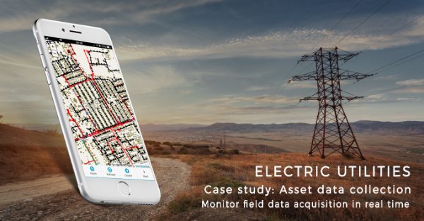
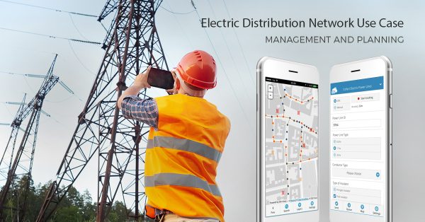
Capture poles, transformers, lines and meters with photos and attributes, tied to location.
Customer enumeration
Enumerate customers in real time and connect them to the right assets to surface losses.
Monitor field activity
See crews, jobs and asset status live, and act on the events that matter.
From enumeration to action
- 1Collect: field teams map assets and enumerate customers on a mobile form, offline-capable.
- 2Connect: the office links customers to assets on the live map and spots anomalies.
- 3Act: losses and maintenance needs become tasks the team can assign and track.
Powered by GIS Cloud AI
Read the asset from a photo
Photograph a transformer or meter and AI Form Fill suggests asset type, ID and condition from visible text and barcodes, with confidence scores. The crew confirms before it’s saved.
Explore GIS Cloud AIThe toolkit
Apps that power electric utilities
Bring your network
onto one live map
Start mapping assets and enumerating customers this week. No credit card, no setup.