

Tree inventories that work in the field
Capture trees, inspections and risk on a phone, then see high-risk, overdue assets light up on one live map your whole team trusts.
The challenge
High public attention, high consequence
A single tree failure, an unsafe play area or a missed inspection can escalate fast. Yet inventories live in spreadsheets, inspections on paper, and risk scores in someone’s head.
Without a live, structured inventory it’s hard to prove you inspected the right trees at the right time, and harder to plan the next round efficiently.
How GIS Cloud helps
From inventory to inspection to action
Structured tree inventory
Maintain species, structural defects and works in a live inventory, in the browser or from QGIS.
Inspections on site
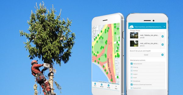
Arborists log defects, disease signs and recommended works with photos, tied to each tree.
Plan rounds by risk
Supervisors see high-risk trees and overdue inspections on the map and plan efficient rounds.
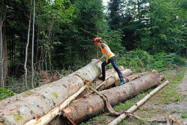
Inspect, score, schedule
- 1Inventory: each tree carries species, location and history in a structured layer.
- 2Inspect: crews record condition, defects and recommended works on a mobile form.
- 3Prioritise: risk scores and overdue dates surface on the map so the worst assets get attention first.
Powered by GIS Cloud AI
Fill the form from a photo
Snap the tree and AI Form Fill suggests species, condition and visible defects, with a confidence level on each. The arborist reviews, edits and confirms; every extra photo sharpens the result.
Explore GIS Cloud AIThe toolkit
Apps that power vegetation management

Map your urban
forest today
Start a tree inventory and run your first inspections this week. No credit card, no setup.