

Map your mission, prove your impact
Collect field data in the most remote places, map programmes affordably, and show funders exactly where the work happened, from clean-water projects to forest restoration.
The challenge
Limited budgets, remote work, real accountability
Non-profits need to map programmes and prove impact, often in places with no connectivity and on tight budgets. Generic tools are expensive and hard to train volunteers on.
An affordable, offline-ready platform turns volunteers into a data-collection network and gives funders clear, mapped evidence.
How GIS Cloud helps
From the field to the funder report
Equip volunteers fast
Build a simple form and share it: volunteers collect quality data on their own phones, offline.
Map the programme
Bring every submission onto one live map to plan, analyse and coordinate the work.
Show the impact
Publish a branded public map so funders and the community can see results.
Bringing clean water to every household
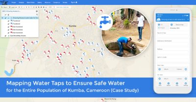
- 1Collect: teams map water points and survey households offline across an entire region.
- 2Sync: data flows to the live map the moment crews regain connectivity.
- 3Report: a branded map shows funders exactly which communities now have access.
Powered by GIS Cloud AI
Less paperwork, more mission
AI Form Fill completes field forms from a photo or a spoken note, so volunteers spend time on the work, not the data entry. Every suggestion is reviewed and confirmed.
Explore GIS Cloud AI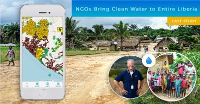
Map your mission
this week
Start free, equip your volunteers and show your impact on a live map. No credit card, no setup.