

Run every site from one live map
Track status, capture photo evidence and manage teams across construction sites on a single live map, with an audit-ready trail funders and clients trust.
The challenge
Many sites, paperwork and disputes
Construction operations run on PDFs, spreadsheets and chat photos. Progress is hard to see across sites, and disputes drag on without clear, dated evidence.
Managers need live status, a photo trail and the ability to assign tasks, without another heavy system to deploy.
How GIS Cloud helps
Live status, evidence and team management
Capture progress on site
Crews log status, quantities and photos against the right location, online or offline.
See every site at once
Portfolio dashboards roll up blockers, overdue checks and missing photos across projects.
Monitor crews & assets
Track people, equipment and jobs live so you can act on what needs attention.
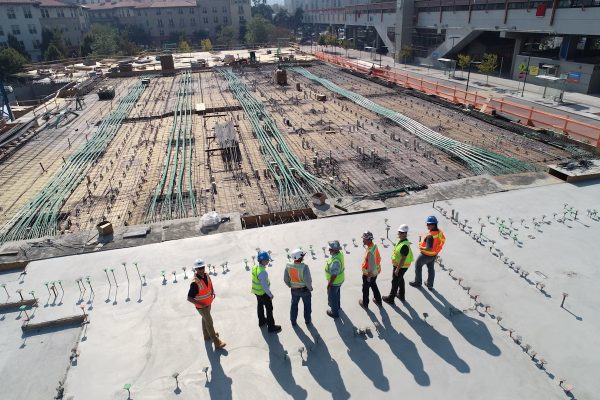
Prove milestones, not just progress
- 1Capture once: guided forms and photos are geotagged, time-stamped and tied to the asset.
- 2Roll up: managers view status by site, unit and contractor on one live map.
- 3Prove it: exports for clients and funders include dates, users and coordinates.
Powered by GIS Cloud AI
Turn site photos into records
Snap the work and AI Form Fill suggests the form values from what it sees, with a confidence level on each. The crew confirms; the audit trail builds itself.
Explore GIS Cloud AIConstructionCase study
Efficiently managing operations in the construction industry
How Rabine Paving coordinates crews, assets and projects on a single live map, cutting site visits and keeping the office and field in sync.
Read the storyBring your sites
onto one live map
Pilot one project and give your team live status and audit-ready evidence. No credit card, no setup.