
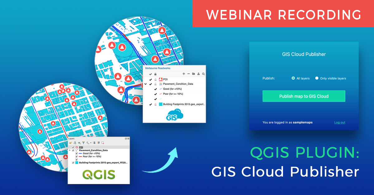
Two weeks ago we held a live demo webinar about the QGIS plugin we recently released; the GIS Cloud Publisher for QGIS. This plugin allows you to publish and update your QGIS maps online, preserving your symbology.
In this webinar recording (below), you will learn how to easily transfer entire maps or only a couple of layers from QGIS to GIS Cloud and continue working on your published maps.
Once you have published your maps, you can share them with colleagues, privately (inside your organization) or publicly, and control their access to your data. You can decide whether they can only view the data, or edit the data as well, which allows you to achieve a real-time collaboration when working on your maps and data.
Update your maps or only specific layers in any phase of your project, preserving your symbology and saving time you would otherwise use to style your data again. Add additional layers into your published maps to get an even better overview of your project.
You will also learn how you can collect data from the field directly into your published QGIS maps, and how you can present your data using a public branded Map Portal, including switching between multiple maps.
We also talked about why and how we made the plugin, listening to the feedback from our customers and users.
QGIS Plugin Key Features:
- Transfer your QGIS data (vectors, rasters, wms, wfs) and symbology
- Points, lines, polygons, categories, and labels are supported completely
- Upload the entire map, or just a few layers for a fast workflow
- Update changes made to your map or specific layers
- Upload the same map as a new version to GIS Cloud
- Upload as a private or public map
- Give a name to your map
- Share public maps instantly with an URL link
- Share private maps with colleagues inside GIS Cloud
- You can also publish your QGIS analysis by first saving them as rasters
- QGIS is connected to GIS Cloud over a secure SSL connection
- The plugin is compatible with QGIS 3 and QGIS 2.
Now that you learned all about the QGIS plugin, create your GIS Cloud account, find the GIS Cloud Publisher for QGIS among QGIS plugins, and test it out, it’s free!