
Share live maps
with AI insights
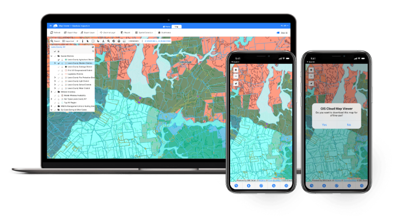
Give stakeholders a clean, always-current view of your project, no GIS training required. They explore layers, query features and track progress, while you keep full control of access. Now they can just ask the map a question.
- Read-only access to your live maps and data
- Works online, or offline once stored on the device
- Ask the map questions in plain language
Map Viewer
A simple window into your live project
Always current
Viewers see the same live data your team edits, no exports, no stale PDFs, no version chaos.
Controlled access
Share privately with the right people. View-only permissions keep your data safe while staying transparent.
Online or offline
Stakeholders open the project in the browser, or offline once the map is stored on their device.
"The easiest GIS platform to get started with, so flexible. A browser-based, full-featured interface with transparent pricing and security compliance."

Explore the project, no training needed
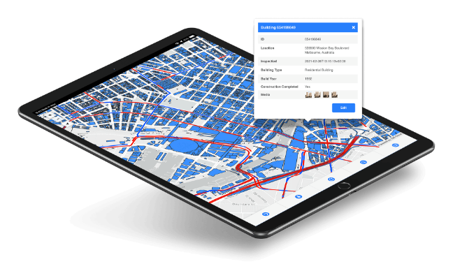
A focused, uncluttered interface anyone can use to find what they need.
- Toggle layers and read feature attributes
- Search and zoom to assets or areas
- Measure distance and area on the map
You control who sees what
Share privately with a person or a whole group and decide exactly what they can do.
- View-only access by user or group
- Share a private link, no account hurdles
- Revoke or change access any time
Track job progress and decide
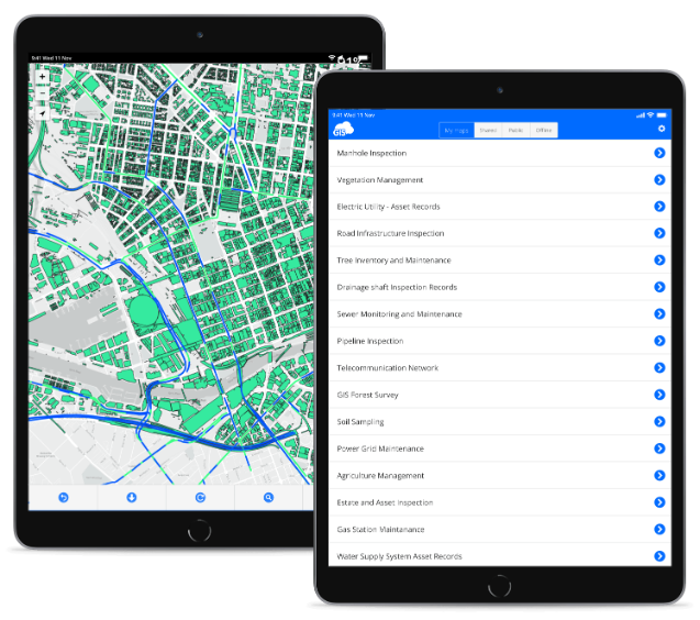
Use the viewer to monitor a project, check status and make decisions from anywhere.
- Real-time status straight from the field
- Filter by date, ward, contractor or status
- Open the same project in Map Editor to edit
Powered by GIS Cloud AI
Ask the map a question
Stakeholders can ask in plain language, like "how many inspections failed this week?", and the viewer answers with the number and highlights the features. Read-only and safe: nothing is changed.
Explore GIS Cloud AIDo more with your data
Extend to other GIS Cloud apps
Share your first map
in minutes
Give your stakeholders a live view of the project today. No credit card, no setup.