
Collect data
from the crowd
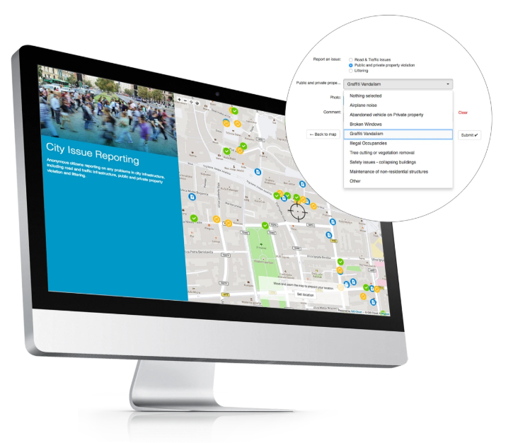
Let citizens, volunteers and customers submit geolocated reports through a simple public form, with no app and no login. Review, moderate and map every submission, with AI to categorize and prioritize what comes in.
- Public submissions through a shared web form
- Photos, location and structured fields
- AI triage categorizes and flags submissions
Crowdsourcing
Turn public input into mapped, usable data
Anyone can contribute
A simple public form, with no app install and no account. Lower the barrier and gather far more input.
Geolocated & structured
Every report lands on the map with photos and the fields you defined, ready to analyze, not clean up.
You stay in control
Moderate submissions before they go live. Approve, reject or merge to keep quality high and noise low.
"I recommend everyone to try GIS Cloud if you're looking for a replacement for ArcGIS or QGIS, a perfect bridge between learning needs and a mature solution."

Launch a public form in minutes
Build the form once and share a link; the public starts contributing immediately.
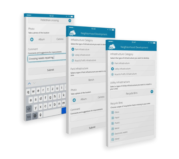
- Point, line or polygon submissions
- Photos, descriptions and custom fields
- No login required for contributors
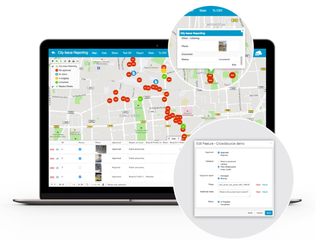
Moderate before it goes live
Keep your dataset trustworthy with a simple review step.
- Approve, reject or merge submissions
- Flag duplicates and spam
- Notify contributors on status
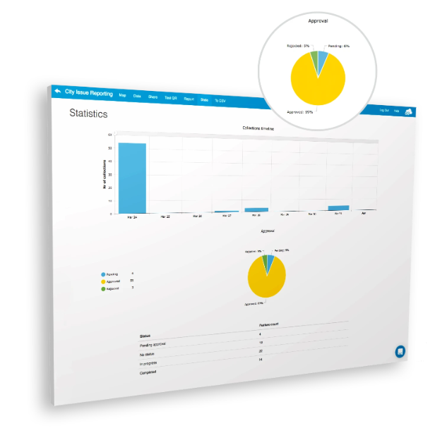
Map and act on what you gather
Approved reports flow straight into your live project for analysis and action.
- See submissions as live map layers
- Filter hotspots and trends
- Open in Map Editor to assign and resolve
Do more with your data
Extend to other GIS Cloud apps
Start collecting
from the crowd
Launch a public reporting form today and map every submission. No credit card, no setup.