
We did an interview with the Orange County Public Works about their Monument Inventory project. Their Geodetic Unit is responsible for maintenance of the Horizontal and Vertical control networks. Responsibilities include updating, revising and distributing the most accurate and current data available.
Background
GC: Can you tell us some basic information about the project you are doing and why was there a need for a cloud GIS based solution?
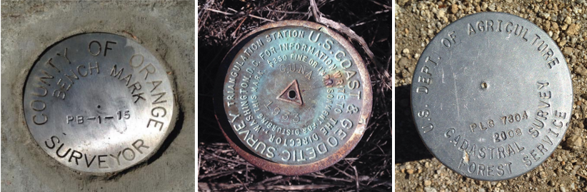
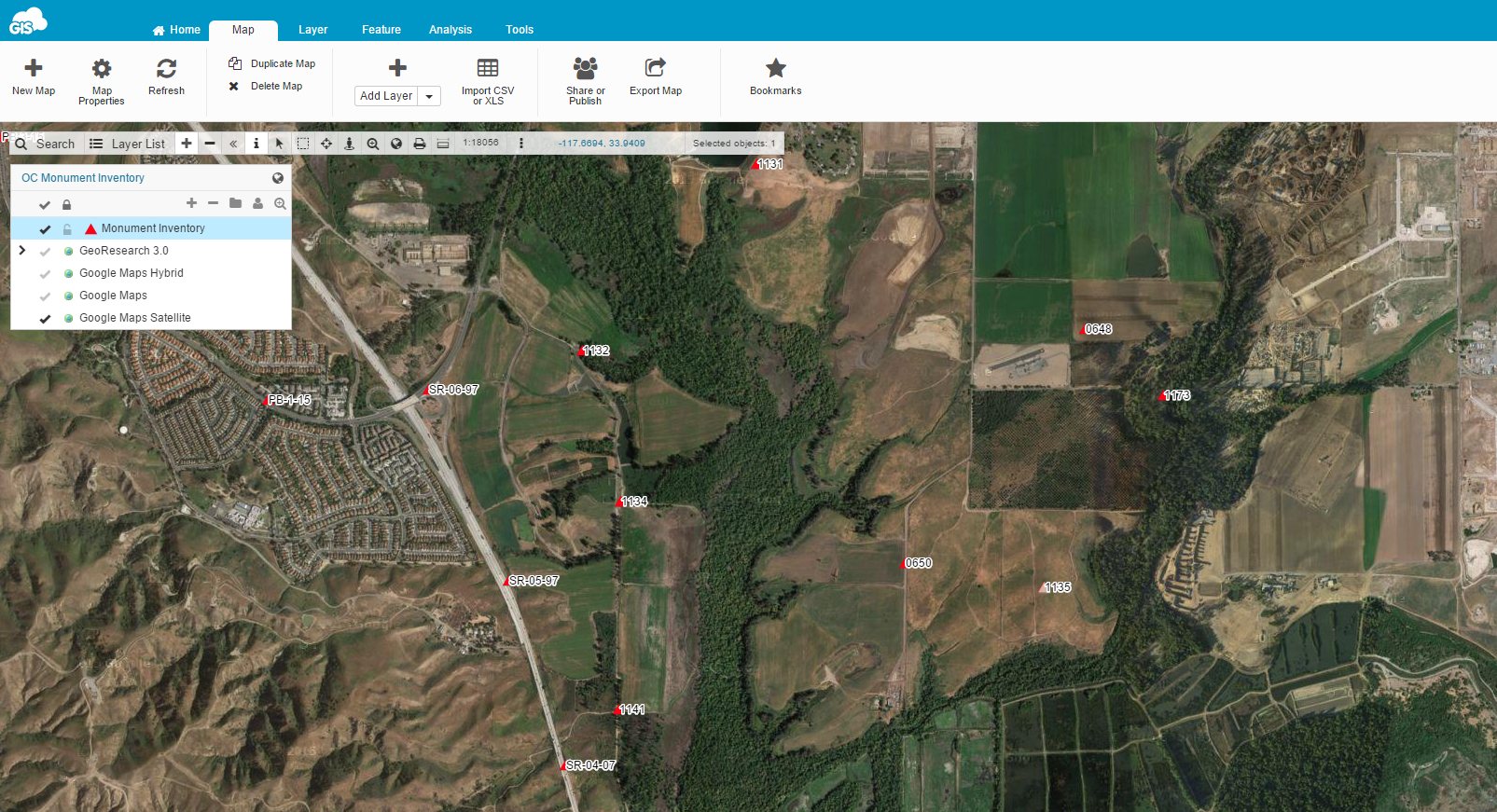
OC: We are capturing photos of control survey monuments that our field crews use for their surveys. Having access to these photos in the cloud greatly benefits our surveyors in identifying the correct monument as well as its location.
Challenges
GC: What were some of the challenges that your project had and that you overcame with GIS Cloud apps?
OC: Verifying whether a monument exist or not has always been a challenge. These monuments can be very unique and require proper character descriptions. A detailed photo is worth a thousand words. What you see is what you get.
Solution
GC: Is your project workflow more efficient with GIS Cloud apps and how?
OC: GIS Cloud adds another layer of verification data that is essential to our work. For instance having the editing option of the data from the field, as well as collecting the data in remote areas makes a great difference.
GC: How has GIS Cloud specifically helped you given your industry and area of expertise?
OC: It has given us a better way to collect and manage data. Mobile Data Collection and its Forms Manager make our collection projects really easy. App is very user friendly so there is no tame waste in terms of long and expensive team training.
Recommendation
GC: What would be 3 key features in your opinion that you would recommend GIS Cloud for?
OC:
- Real time posting of photos to website
- Ease of MDC smartphone application
- Public access to view photos